RainWatch – Cold front brings rain to the North Island today
17/09/2020 7:00pm

> From the WeatherWatch archives
A cold front pushes over the North Island today bringing rain, this will ease in the afternoon then clearing this evening. Morning rain clears the upper South Island. Expect rain or showers about Southland and South Westland, spreading into North Westland in the afternoon. Otago is drier but a shower or two moves in for a time during the afternoon with the passage of a front.

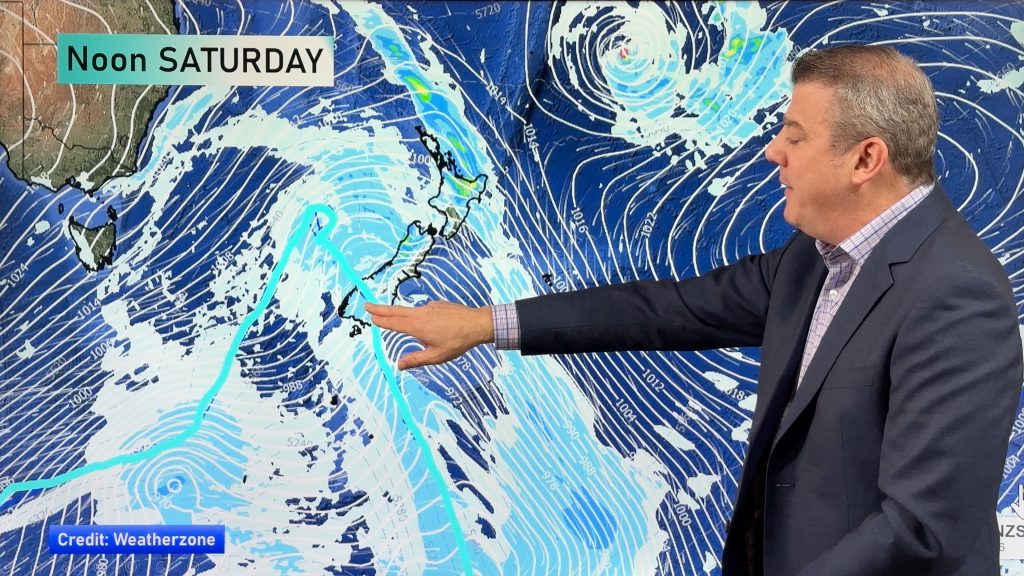
A shower or two for the West Coast and western side of the North Island on Saturday in a southwesterly airflow. Expect showers for Southland also, briefly working into Otago at times. Mainly dry for eastern parts of the country in the morning, thickening cloud brings a shower or drizzle patch from afternoon about inland Canterbury / Marlborough. Wairarapa / southern Hawkes Bay sees showers from afternoon then northern Hawkes Bay and Gisborne may see showers in the evening.

For rainfall accumulation maps for 1, 2 and 3 days out please visit our new maps page: https://www.weatherwatch.co.nz/maps-radars/rain/accumulative-rainfall
By Weather Analyst Aaron Wilkinson – WeatherWatch.co.nz
Comments
Before you add a new comment, take note this story was published on 17 Sep 2020.


Add new comment
Peter Thomas Langer on 18/09/2020 2:10pm
it will be the driest september in years unless the weather gets a move on a la nina would be justice if there is one
Reply