> From the WeatherWatch archives
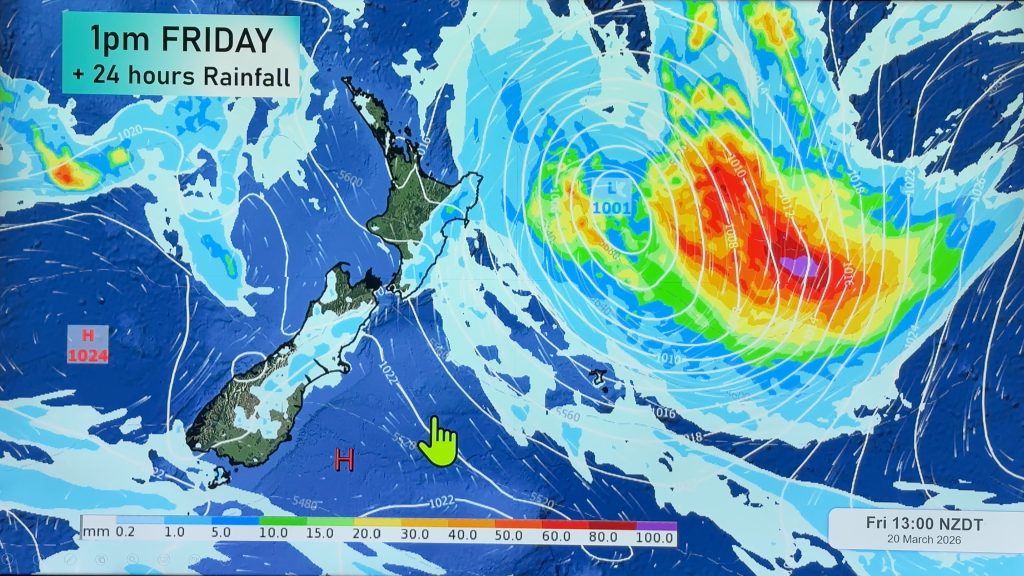
Today and tomorrow look settled but more rain is on the way this weekend as an area of low pressure is predicted to form in the Tasman Sea and cross the North Island, weatherwatch.co.nz reports.
Head weather analyst Philip Duncan says computer models still aren’t quite agreeing on exactly how much rain will fall and where but at this stage the low is expected to affect many regions from Friday to Monday – especially for north facing and western regions. “The low looks likely to develop during Friday and edge towards New Zealand on Saturday. Some high air pressure over northern New Zealand will keep the low from moving through too quickly and that pressure gradient between the low and the high may also create some strong winds for some areas”.
The forecast is still fairly vague but it appears at this stage the low will cross over the North Island during Sunday and Monday with the main rain band moving through on Saturday. “Because of it’s slow nature this may cause some concern for properties along the Waikato River, however at this stage it’s simply too early to know if the rain will be heavy or long lasting”.
At 8am on Wednesday the Weather Watch Centre says it’s confidence for rain across Auckland and Waikato is about 60%. “That means rain looks likely but it’s not high enough to say if the rain will be heavy and significant”.
The Waikato region has been drenched by heavy rain this past month with our rain gauge in the eastern Waikato recording 470mm near Te Aroha over the past 31 days – roughly half the annual rain fall in just one month.

This graph, provided by Brian Barclay’s Te Awamutu weather station (coolblueradio.com/bbchookshed.htm) shows how remarkable rainfall has been this year. Mr Barclay says some people claim rainfall figures are ‘normal’ for this time of year – which can be argued considering the first 3 months were in drought and the past 3 months have been well above normal – overall it averages out to normal. But he says the way the rain has fallen has been anything but normal.
Mr Barclay says he hasn’t done the research but believes the Te Awamutu region is now in its wettest three months on record. Along with that, he measured the lowest air pressure on record from July’s ‘weather bomb’ which makes this far from a ‘normal’ year.
Philip Duncan says this next low is one we should keep a close eye on as the direction of the rain bands and the low itself may well feed the Waikato catchments better than last weeks low.
A brief, cold, south easterly blast is also likely to affect areas from Christchurch to Napier, including Wellington, on Monday next week, which may bring more snow to low levels across the ranges .
Sunny and settled weather may return quite quickly next week in the north and west as a ridge of high pressure possibly moves in from the Tasman Sea.
Comments
Before you add a new comment, take note this story was published on 19 Aug 2008.


Add new comment
Föehn on 19/08/2008 10:23am
I feel sorry for the farmer who lost 16 of his in calf cows, by electrocution, when a twister brought down high voltage power lines in the Bay of Plenty today
Reply
weather-nut on 19/08/2008 1:47pm
Actually the alleged tornado near Opotiki was reported to have occurred last Friday. Assuming it was a tornado (downbursts can be just as destructive), it was most likely a waterspout that came ashore.
Reply