
> From the WeatherWatch archives
The weather across New Zealand is starting to get more active and after what has been a fairly quiet winter, the drama of spring is only just a couple of weeks away.
Over the past two months we’ve seen the weather patterns shift with regular lows finally developing in the Tasman Sea. The start of 2010 was dry for New Zealand as continuous high pressure systems blocked off any cyclonic development in the area.
 The recent lows have created strong winds, flooding, hail and thunder.
With spring approaching we’re likely to see wilder weather than the previous months with an increased chance of gales and thunderstorms.
The end of winter is 7 days away, Tuesday August 31st however many also recognise the spring equinox (around the 22nd of September) as the true start of spring. This is when the sun starts to officially spend more time over the southern hemisphere than the northern. The day of the equinox is also when day and night are the same length.
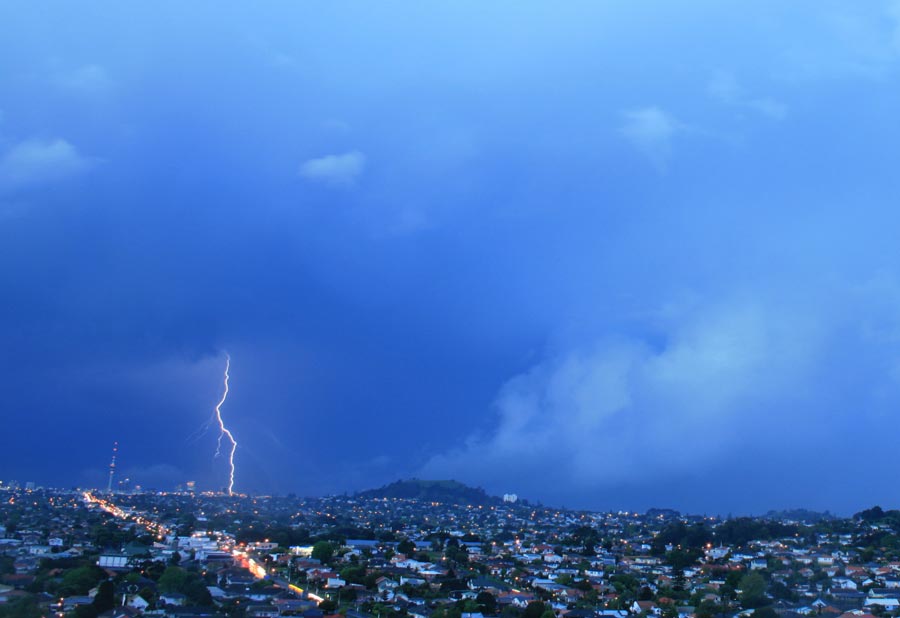
Image: Lightning over Auckland City / Simon Williams
Latest Video

Some polar airflows but more high pressure to affect NZ’s weather
Showers are in the forecast over the next several days, we track where and when they occur – but there…
Related Articles
Some polar airflows but more high pressure to affect NZ’s weather
Showers are in the forecast over the next several days, we track where and when they occur – but there…

Tracking the showers & colder changes
High pressure isn’t over NZ, but is nearby – and it’s affecting our airflows and who gets wet weather and…

Westerlies continue, sub-tropical for some
West to north-west winds blow through the South Island and lower North Island today bring heavy West Coast rain and…

