NZ’s Sunday forecast – Warmer than average weather building today & days ahead (+11 Maps)
21/08/2021 4:00pm

> From the WeatherWatch archives
High pressure is centred east of the lower North Island and this position creates an easterly for northern NZ, light winds in the eastern North Island, and building nor’westers from the lower North Island southwards.
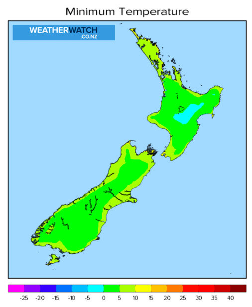
The Nor’West flow will help push temperatures up in the east and very south of NZ by several degrees. In fact, in the days ahead it may be even more than 10 degrees warmer than it was on Friday for parts of Southland, Otago and Canterbury. This will be several degrees warmer than average for this time of the year and is thanks to the increasingly sub-tropical nor’west flow building early this coming week.
Most regions are dry today and in the days ahead but the West Coast has days of rain on the way – if not a week of rain – coming up with over 300mm possible, perhaps over 400mm in the mountains over the coming week due to the sub-tropical connections.
For hyper-local weather data for today and the week ahead please use our HOURLY forecasts at WeatherWatch.co.nz and RuralWeather.co.nz – Powered by IBM, the World’s Most Accurate Weather Forecaster.


Latest Video

More heavy rain, snow – but large dry areas, especially as we go into the long weekend
Heavy rain will continue for parts of Canterbury and Marlborough over the next day or two and it will gradually…
Related Articles
More heavy rain, snow – but large dry areas, especially as we go into the long weekend
Heavy rain will continue for parts of Canterbury and Marlborough over the next day or two and it will gradually…

Large low brings rain, downpours & some snow – gets colder as the week progresses
Low pressure will cross the upper North Island in the days ahead and that set-up actually pushes more heavy rain…

WeatherWatch App launches real-time local lightning tracker!
A bolt out of the blue! WeatherWatch has launched a live, real-time lightning tracker, enabling Kiwis to gain access to data provided by the…

