
NZ: Burst of polar air coming, frosts expand
8/09/2026 11:52am
Low pressure is today leaving the North Island to the east, and behind it we’re on the edge of weather systems going into Wednesday. By late Wednesday and going across all of Thursday a shot of polar air will spread right over NZ, dropping temperatures. This colder airflow will only last about 24 hours, if that, before it’s pushed off the country.
But this weekend we’re again on the edge of high pressure, creating colder winds in parts of NZ and dredging up more showers.
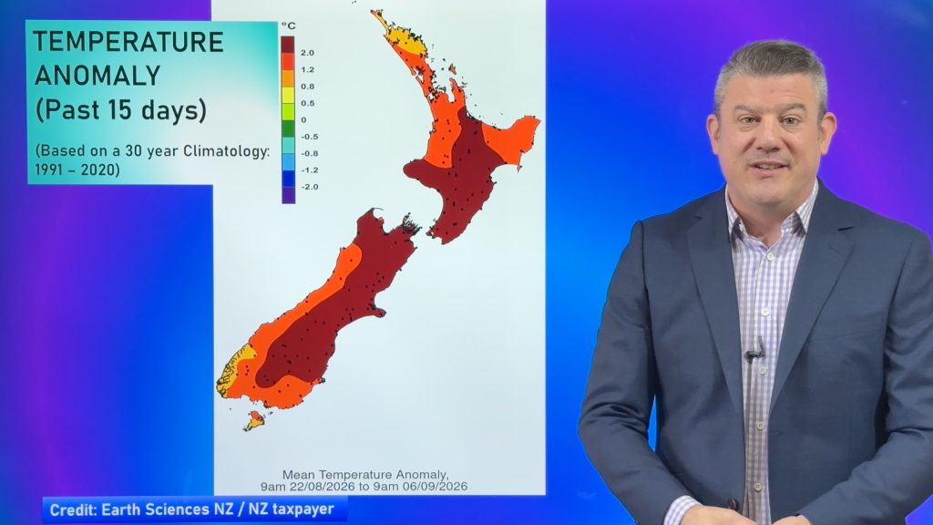
We take a look at 7 day rainfall, also despite the colder winds at times the country is now leaning warmer than average – we show you the latest temperature anomaly map too.
Latest Video
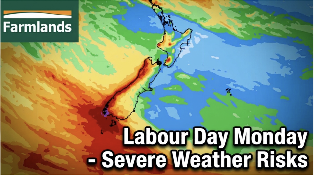
Labour Day severe weather risks – but large dry areas this weekend
High pressure shapes our weather this weekend but by Monday low pressure will affect the south bringing severe nor-west gales…
Related Articles
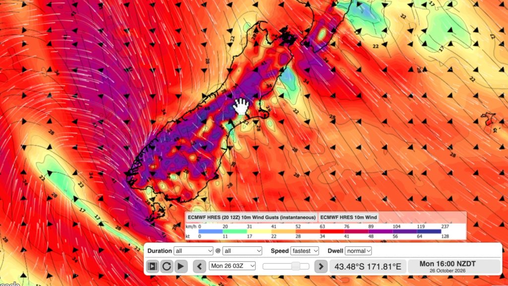
NZ: Long Weekend update, Labour Day severe weather risks
A very large and slow moving high pressure zone will slip off NZ to the east of the North Island…
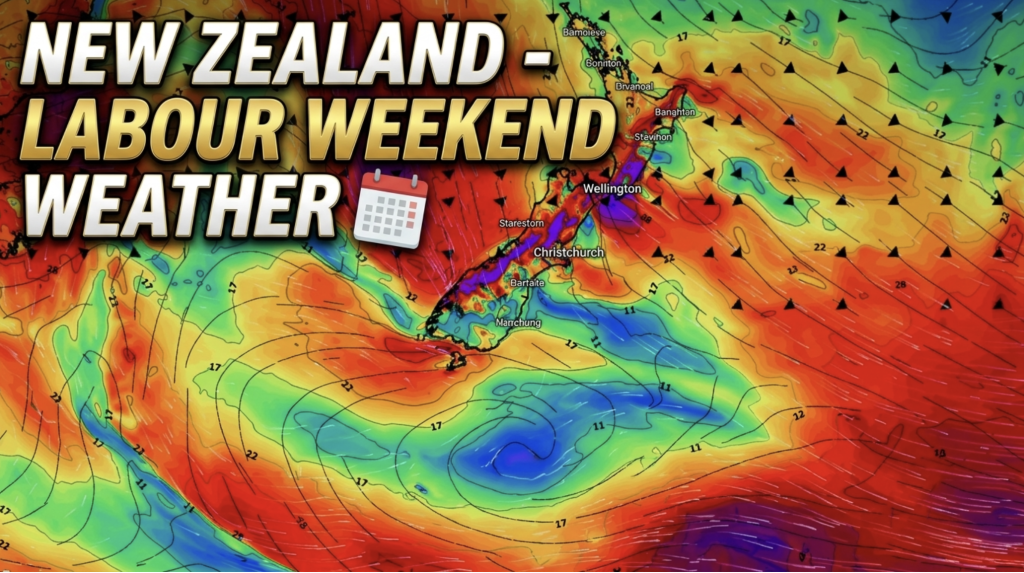
Weather this week & Labour Weekend
High pressure dominates NZ’s weather this week, but slides off much of the country by Labour Day Monday. Despite the…
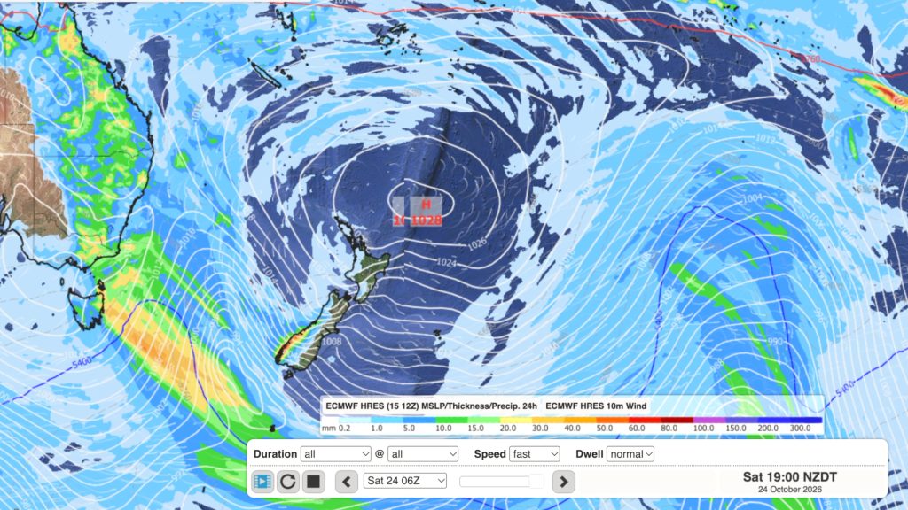
Dry weather coming, Labour Weekend may be stormy
High pressure is moving in to NZ, or at least trying to, with it likely parking itself over the Tasman…

