
Next cold front coming, then high pressure expands
1/10/2026 1:54pm
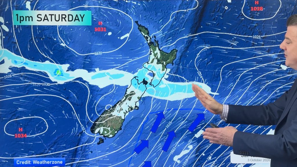
Things are warming up across NZ, but a cold front on Friday night and over Saturday will spread up NZ, bringing some showers or areas of rain, before clearing most places by Sunday.
As we kick off next week high pressure moves in, and this is likely to dominate NZ’s weather going through next week with largely dry weather and lighter winds for most, but not all. We track the windy areas and also where our airflows are coming from, with more northerlies and subtropical airflows expected.
We also have a 7 day rainfall map to make sense of any wet weather coming our way.
Latest Video
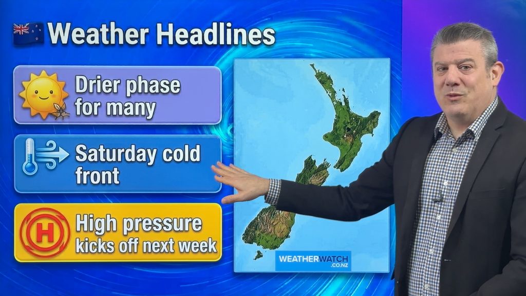
Cold front on Saturday, but high pressure growing
Another cold front comes back into NZ on Friday night and across Saturday – but should be gone by Sunday…
Related Articles
Cold front on Saturday, but high pressure growing
Another cold front comes back into NZ on Friday night and across Saturday – but should be gone by Sunday…
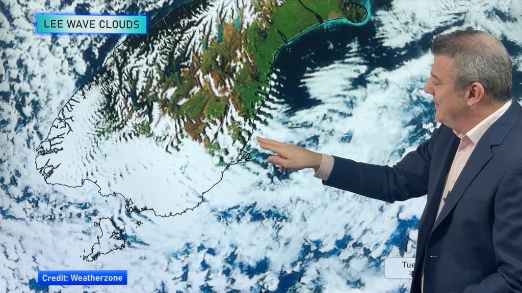
Tracking the showers next 7 days
High pressure is partially going to cover NZ this week, but a stormy Southern Ocean means we’re still going to…
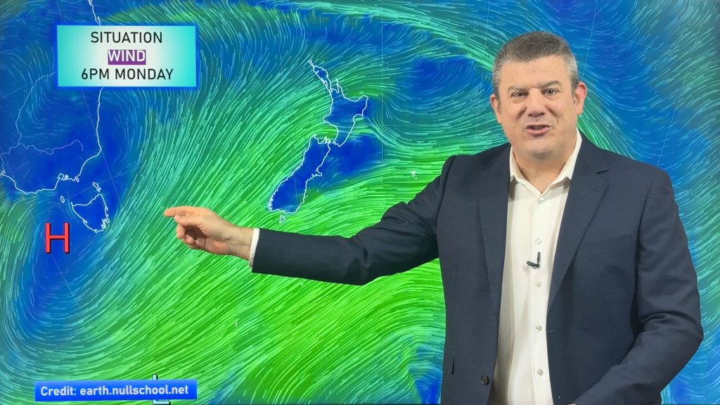
High pressure flirts with NZ this week
Monday is another windy and colder day for a number of regions, but high pressure will try this week to…

