

> From the WeatherWatch archives
WeatherWatch.co.nz forecasters continue to monitor potential thunderstorm activity across the country today as hot, humid and calm conditions remain in place.
Most of the North Island has a risk of significant afternoon thunderstorms which could lead to localised surface and flash flooding, hail and even funnel clouds. Through the South Island it’s mostly inland parts of Otago and Canterbury and amongst the northern ranges.
Yesterday major thunderstorms developed around northern Waikato, South Auckland, the Hauraki Plains and Gisborne ranges. Today the risk zone is greater.
“The best way to keep safe today is to keep an eye on the sky” says head weather analyst Philip Duncan.
“These tropical-like afternoon heat showers can form rapidly but if you’re watching the clouds today you’ll be able to see where the biggest cloud build ups occur. The one’s that look a bit ominous probably are”.
Mr Duncan says while many areas of New Zealand will be sunny and hot today, afternoon thunderstorms can be dangerous and quite explosive – and will pop up where the sea breezes push them. “If a thunderstorm forms near you then the best place to be is indoors – and remain there until the thunderstorm passes”.
Lightning kills more people worldwide than any other severe weather.
Government forecaster MetService says there is a “moderate risk” thunderstorms could become “severe” in the North Island – their risk zone covers much of inland North Island but also Northland, Auckland and Coromandel Peninsula.
“At the moment we have a similar sea breeze in Auckland to yesterday” says Mr Duncan “The easterly seems stronger which means many central and eastern areas are sunny – but already we’re seeing signs of large cloud build-ups around western and southern parts of the city”.
– WeatherWatch.co.nz
Help be our eyes and ears today – if you see or hear thunder please let us know (and don’t forget to tell us where you are!)
Comments
Latest Video
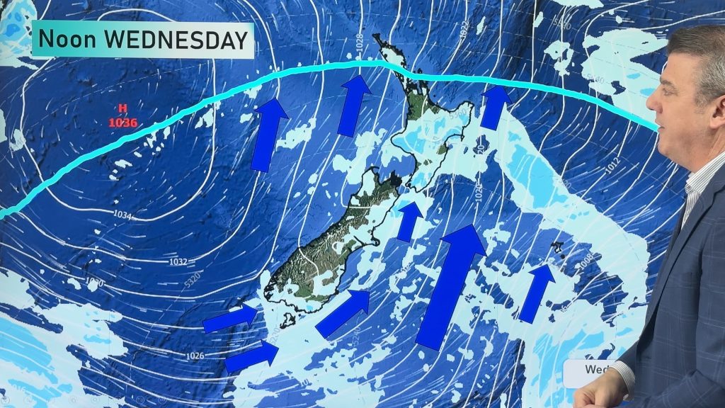
Frosts, snow, gales & windchill – Next 6 days…
Colder weather is yet to spread nationwide, doing so over the next few days ahead with the polar boundary going…
Related Articles
Frosts, snow, gales & windchill – Next 6 days…
Colder weather is yet to spread nationwide, doing so over the next few days ahead with the polar boundary going…
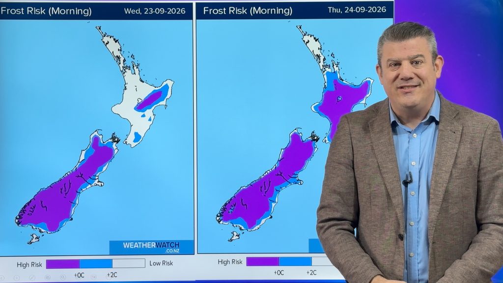
Frost alert as big polar change moves in
A cold airflow will spread over NZ this week, starting in the SI tonight and going nationwide mid week. It…
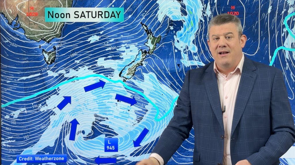
Weekend gales, frosts & polar air next week
Low pressure is today over the upper North Island, replaced by a surge of gale west to south-west winds this…


Zelda Wynn on 15/12/2013 5:40pm
“here” s/be hear has a different leaning 🙂 Not much thunder,heard distantly in New Lynn. Well done for accurate forecasting today!
WW Forecast Team on 15/12/2013 10:53pm
LOL, thanks Zelda 😀 On both counts.
WW
Guest on 15/12/2013 4:19pm
Hi yes thunderstorms over oratia and over rain over swanson end of waitakeres. Great cloud formations, at 4.20 p.m
Guest on 15/12/2013 4:18pm
Hi Guys.
Hot and still here in West Auckland. Large rain drops at times and loud rolling thunder. Neat. Love a storm!
Celtickiwi on 15/12/2013 4:11pm
Lightning Tracker is now showing intense thunder and lightning right over Tauaranga, but we still have blue sky above our heads.
I cannot even hear any distant thunder anywhere.
There are still thunder heads drifting past all around us off in the distance, but still brilliant blue sky and sweltering heat in Papamoa. Its like we are in a glass bowl!
Wind has picked up a little . . . my fingers are crossed it blows the storm in! 🙂
WW Forecast Team on 15/12/2013 4:35pm
The tracker is ok at pointing out the direction storms are in but it can often get the distance wrong. For something a little more accurate you could watch the weather radars at metservice or go here:
http://www.weatherzone.com.au/satellite/world/new-zealand
or here:
http://nzapstrike.net/live.php
Cheers
Aaron
Tim Hazell on 15/12/2013 4:03pm
Just uploaded a photo of the thunderstorm that rumbled around Flat Bush for about an hour this afternoon, between about 3 and 4pm. Despite the blackened sky, we only saw about 15mins of rain. Sun’s back out agian now.
WW Forecast Team on 15/12/2013 4:30pm
Saw that one Tim, wicked shot! Have put it on the WW facebook page, thanks heaps for uploading it!
Aaron
Guest on 15/12/2013 3:37pm
Just been talking to some relatives up in Ngatea, and apparently they had some thunder and rain about half an hour ago, which has since ceased. Hopefully there’ll be more to come!
Doubting Thomas on 15/12/2013 3:35pm
“Lightning kills more people worldwide than any other severe weather.”
You have to be kidding here – more than typhoons, hurricanes, cyclones and cold? I would like to see evidence supporting such a scare mongering statement.
View more comments