> From the WeatherWatch archives
A low pressure system passes over the South Island on Monday, winds from the north ahead of this low tending to the south over the lower South Island.
For the upper North Island expect sunny areas and some high cloud, the odd shower possible especially about the Waikato. Overnight rain moves into Northland with heavy falls. Winds from the northeast.
For the lower North Island expect cloudy areas in the west with the odd shower, especially about Taranaki. Some rain moves in during the evening then eases back to the odd shower overnight. The east coast has a great day with sunny areas and some high cloud, winds from the north. Highs reaching into the late teens or early twenties for many on Monday although hovering around the mid teen mark about Taranaki and Wellington.
Showers for North Westland and Nelson / Marlborough then turning to rain in the afternoon with heavy falls possible, easing back to showers in the evening as northerlies change westerly. The east coast has a dry day but expect plenty of high cloud and breezy northerlies, temperatures getting into the high teens or perhaps early twenties for coastal Marlborough and Canterbury.
Heavy rain about South Westland eases to showers during the afternoon. Expect rain for Southland and Otago, heavy falls possible then easing a tad from afternoon. Some snow lowers to 500m about Southland / Otago, perhaps 300m about southern parts of Southland. Snow also lowering to 500m by evening along the West Coast.

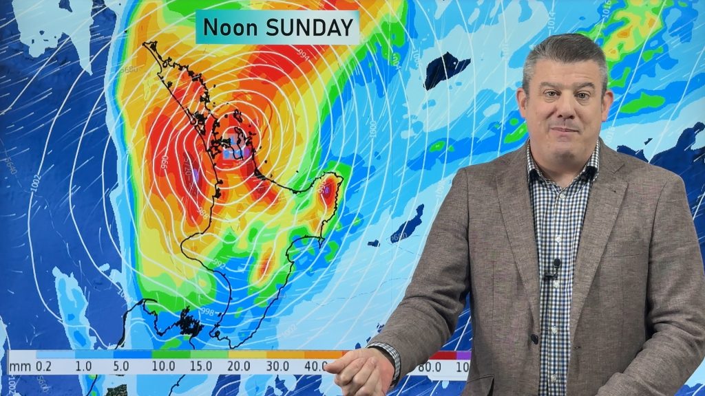
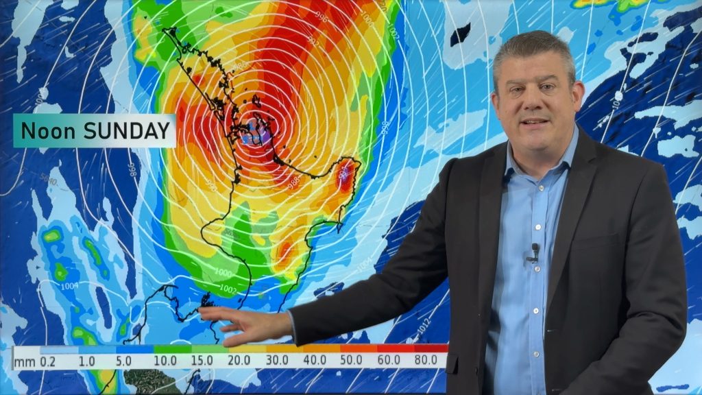
Image: Monday 17th September 2018 3:00pm MSLP / Rain map – weathermap.co.nz
WeatherWatch.co.nz
Comments
Before you add a new comment, take note this story was published on 16 Sep 2018.


Add new comment