> From the WeatherWatch archives
A large low moves onto the lower South Island during Monday. A northwesterly airflow around the top of this low brings wet weather to much of western New Zealand and drier weather out east, some rain may spill eastwards at times however with the passing of a front.
For the western North Island expect mostly cloudy skies, the odd shower possible, more so from afternoon then late afternoon or evening rain moves in from the west. This rain could be heavy with thunderstorms from Taranaki down through to Wellington then easing back to showers by midnight.
Along the east coast of the North Island conditions are mainly dry with increasing high cloud, winds from the north. From afternoon a few spots of rain may start spreading into the Wairarapa, this risk increases in the evening then pushes northwards into Hawkes Bay and Gisborne overnight.
The West Coast of the South Island sees periods of rain throughout much of the day with northeasterlies, Nelson and Marlborough (more so about the Sounds and further west) may see heavy falls at times then mostly easing by evening. Thick high cloud from Canterbury down through to Southland, there may be a spot or two of rain at times otherwise mainly dry, winds mostly from the northeast.

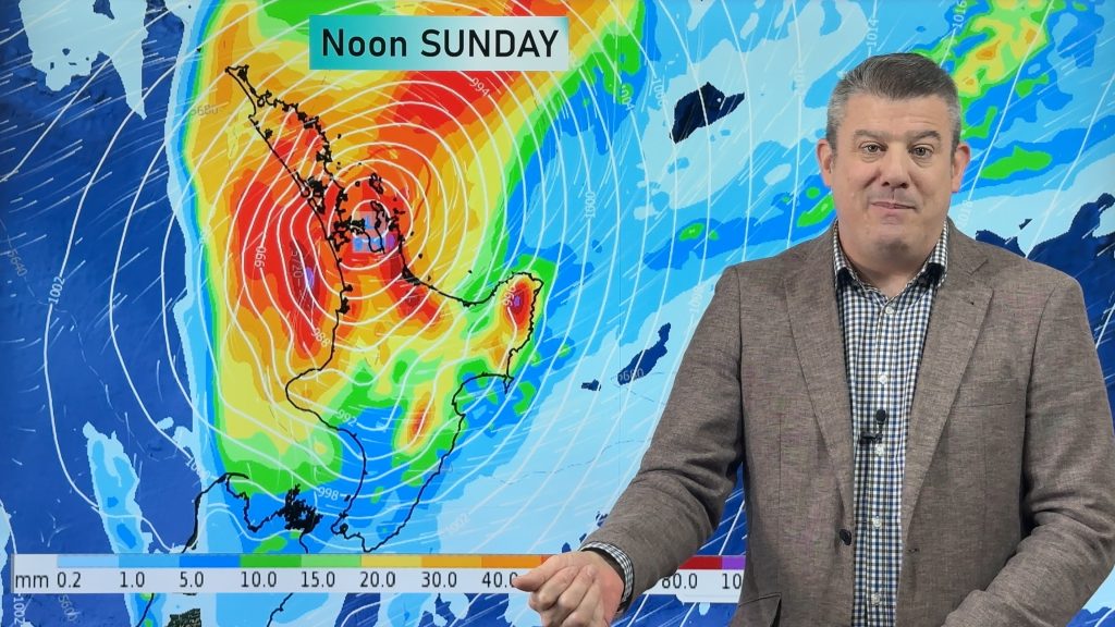
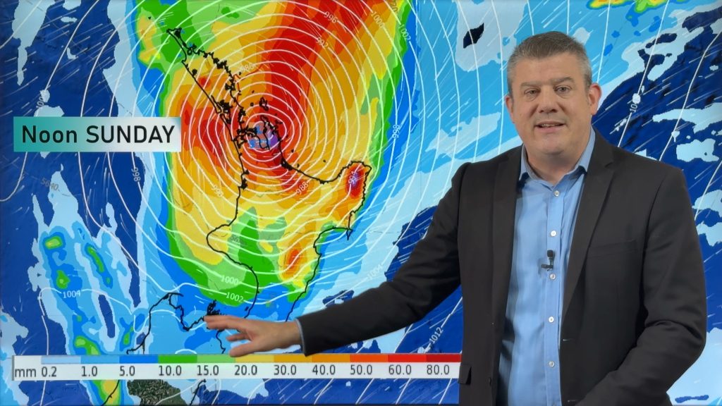
Image: Monday 20th August 2018 3:00pm MSLP / Rain map – weathermap.co.nz
WeatherWatch.co.nz
Comments
Before you add a new comment, take note this story was published on 19 Aug 2018.


Add new comment