> From the WeatherWatch archives
A ridge slips away from the North Island on Monday then northerlies build over New Zealand during the day, a front then pushes in from the west in the evening.
For the upper North Island expect sunny areas and thickening cloud, risk of a shower at times then during the afternoon rain moves into Northland before pushing further south in the evening. There may be a touch of morning fog about the Waikato, winds from the northeast.
Mostly sunny for the lower North Island with some high cloud, areas of mid level cloud for Taranaki during the day, perhaps the chance of a light shower or two also. In the evening rain moves into the west then spreading elsewhere overnight, winds from the north to northeast.
For the upper South Island expect sunny areas and some high cloud. Cloud thickens up in the west and about Nelson from afternoon and the odd light shower may move in, rain the develops later in the evening / overnight. Winds from the northeast. Areas of rain or showers for South Westland during the day, high cloud for the rest of the lower South Island with northeasterly winds. Overnight showers develop for the lower South Island as the airflow tends to the south.

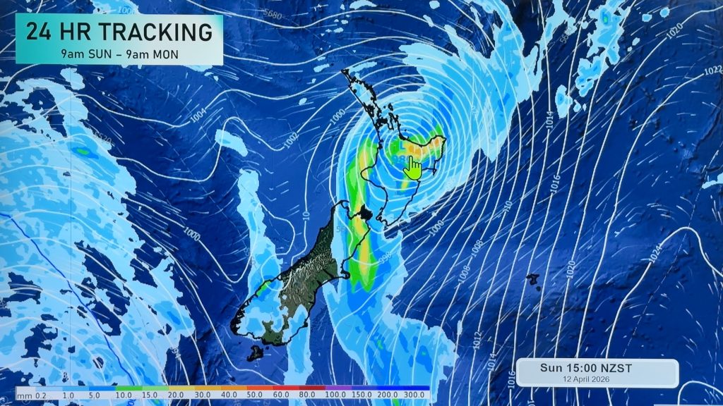
Image: Monday 13th August 2018 3:00pm MSLP / Rain map – weathermap.co.nz
By Weather Analyst Aaron Wilkinson – WeatherWatch.co.nz
Comments
Before you add a new comment, take note this story was published on 12 Aug 2018.


Add new comment