> From the WeatherWatch archives
A west to southwesterly airflow lies over the North Island on Monday while a colder more southerly airflow lies over the South Island. Southerlies spread into the lower North Island during the afternoon and evening.
A mostly cloudy day for the western North Island tomorrow with showers at times, some rain moves into the area between Taranaki and Kapiti in the evening for a time before clearing away overnight as a southerly wind change pushes in. The Bay Of Plenty sees a mix of sun and cloud, there may be a shower at times from afternoon otherwise it’s looking mainly dry.
Mainly sunny weather along the east coast, southerlies push into Wairarapa during the afternoon bringing some rain, easing to showers in the evening. A shower or two may brush past coastal Hawkes Bay and Gisborne in the evening.
For the West Coast of the South Island and Nelson, for the most part morning rain or showers clear then sunny areas increase in the afternoon. About Buller and Tasman however showers may linger through till evening. Rain about Canterbury pushes into Marlborough during the afternoon, mostly clearing in the evening although a few showers may hang about coastal fringes through the night.
Morning rain about Otago and Southland easing to showers, clearing away from inland areas during the afternoon then coastal showers clearing away overnight. Snow is likely higher up on South Island ski fields during this cooler change, not too much to worry about at lower levels.

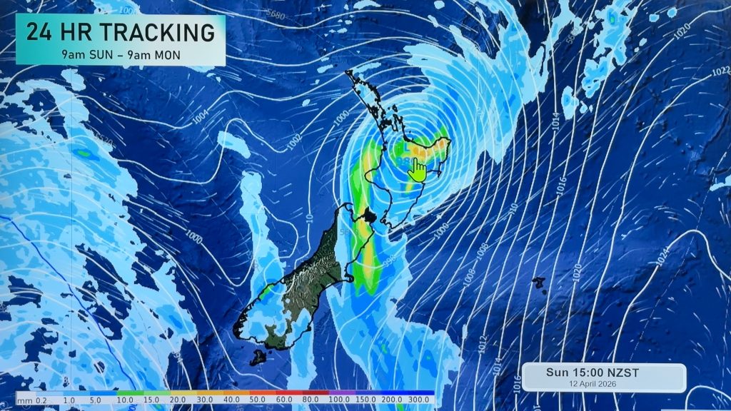
Image: Monday 2nd July 2018 Midday MSLP / Rain map – weathermap.co.nz
WeatherWatch.co.nz
Comments
Before you add a new comment, take note this story was published on 1 Jul 2018.


Add new comment