Monday’s national forecast – Very cold SW airflow moves in (+8 maps)
27/06/2021 4:00pm

> From the WeatherWatch archives
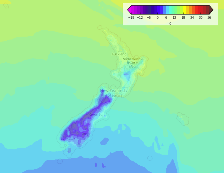
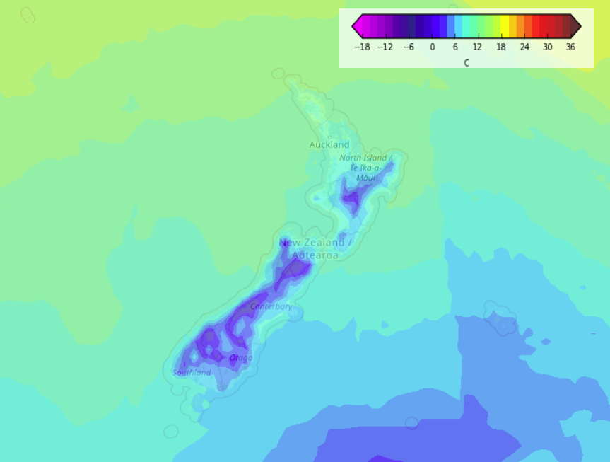
A very cold southwesterly airflow pushes over New Zealand today as a series of fronts move over the country followed by a few troughs.
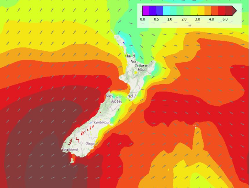
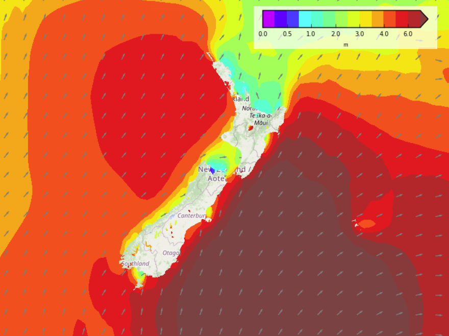
Most regions will see rain or showers today apart from Hawkes Bay and Gisborne. Southwesterly winds will be quite strong too especially about coastal parts of the South Island gusting to gale force. Snow will fall in the ranges of both Islands, getting to low levels (100 to 200m) about the far south by this evening.
Please refer to your local, hourly, 10 day forecast for more details.
North Island
Showers pick up about the western North Island this afternoon as westerly winds change southwest. Dry out east, some sun but showers from this afternoon for Wairarapa, spreading into Hawkes Bay / Gisborne overnight as westerlies tend southwest. Snow overnight to 300m about the Wellington ranges, 400m for the Central North Island and eastern ranges.
South Island
Rain would have eased to showers around midday for most South Island regions although heavy showers will continue about the lower South Island for much of the day, easing there overnight. Showers may be heavy with hail and thunderstorms about the far south and up through to Canterbury this morning, there may be further thunderstorms this evening out on Banks Peninsula. Very cold air would have spread over the South Island with snow on the ranges from the change this morning then flurries to low levels about the far south by this evening, perhaps getting down to 300m about the upper South Island for a time overnight but then clearing although showers remain about coastal Canterbury. Frosty overnight for inland areas and in the west, especially where skies clear up and winds drop away.


Latest Video

More heavy rain, snow – but large dry areas, especially as we go into the long weekend
Heavy rain will continue for parts of Canterbury and Marlborough over the next day or two and it will gradually…
Related Articles
More heavy rain, snow – but large dry areas, especially as we go into the long weekend
Heavy rain will continue for parts of Canterbury and Marlborough over the next day or two and it will gradually…

Large low brings rain, downpours & some snow – gets colder as the week progresses
Low pressure will cross the upper North Island in the days ahead and that set-up actually pushes more heavy rain…

WeatherWatch App launches real-time local lightning tracker!
A bolt out of the blue! WeatherWatch has launched a live, real-time lightning tracker, enabling Kiwis to gain access to data provided by the…

