Monday’s national forecast – Strong SE airflow (+8 maps)
23/05/2021 4:00pm
> From the WeatherWatch archives
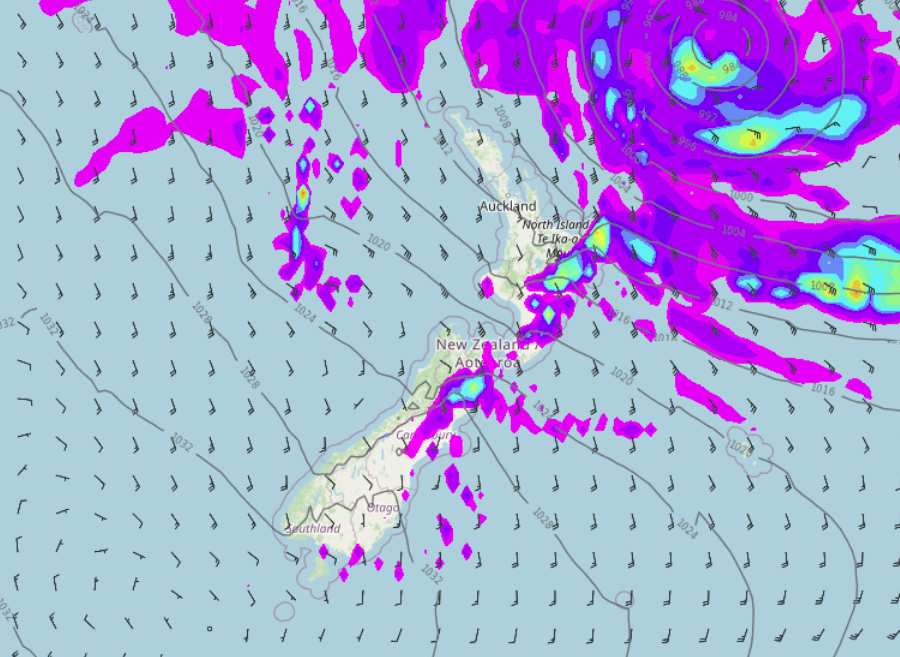
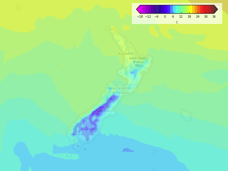
A south to southeasterly airflow lies over New Zealand today, quite blustery and strong for some North Island regions.
Please refer to your local, hourly, 10 day forecast for more details.
North Island
Showers for the east coast, perhaps areas of rain at times especially Gisborne this morning. Showers also sneaking through into southern Taranaki at times and the Central Plateau from the east. Mainly dry out west but expect plenty of high cloud, eastern Northland and Coromandel may see a shower at times. Winds are blustery from the southeast, strong to gale about some coastal areas and offshore Islands.
South Island
Mostly sunny for the West Coast and Nelson. There may be a morning shower for Southland and Otago then sunny spells break through. Showers for Canterbury, perhaps some rain about northern North Canterbury. South Canterbury may have a fairly dry day. Marlborough has cloudy areas and the odd shower mainly in the east, and more so from afternoon.

Latest Video

Snow, rain showers & cold polar southerlies set to return
Friday will be a wintry day across NZ as the next cold front arrives, bringing snow to lower levels of…
Related Articles
Snow, rain showers & cold polar southerlies set to return
Friday will be a wintry day across NZ as the next cold front arrives, bringing snow to lower levels of…

Frosts, late week rain & another cold weekend coming
High pressure will cross NZ over the next few days meaning more cold nights/mornings with frosts, but a nor’wester will…

NZ: Cold & windy, then calm & frosty
Downpours, some squally with the chance of thunderstorms and even small tornadoes are possible for parts of NZ over Friday…

