Monday’s national forecast – Showers in the west (+8 maps)
9/05/2021 4:00pm
> From the WeatherWatch archives
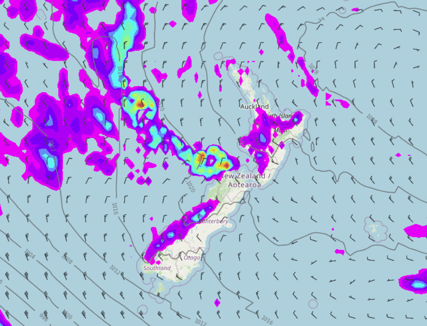
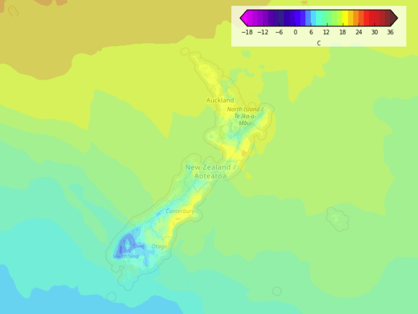
A northerly quarter airflow lies over the country today, this evening and overnight a front pushes southwards onto the West Coast bringing heavy rain.
Please refer to your local, hourly, 10 day forecast for more details.
North Island
Mostly cloudy in the west with showers, dry areas developing this morning north of Auckland then elsewhere this evening. The eastern North Island has sun and some high cloud, a warm afternoon on the way.
South Island
Mostly cloudy for the West Coast with showers, rain develops about Buller this evening then spreading southwards overnight and becoming heavy. Nelson and Marlborough see showers from late afternoon or evening. The east coast has a dry day with high cloud, some sun may break through at times.


Latest Video

More eastern rain, but a drier long weekend coming
Rain continues today along the eastern South Island and lower North Island, coming in from the east with heavy falls….
Related Articles
More eastern rain, but a drier long weekend coming
Rain continues today along the eastern South Island and lower North Island, coming in from the east with heavy falls….

More heavy rain, snow – but large dry areas, especially as we go into the long weekend
Heavy rain will continue for parts of Canterbury and Marlborough over the next day or two and it will gradually…

Large low brings rain, downpours & some snow – gets colder as the week progresses
Low pressure will cross the upper North Island in the days ahead and that set-up actually pushes more heavy rain…

