Monday’s national forecast – Heavy showers West Coast (+8 maps)
11/04/2021 4:00pm
> From the WeatherWatch archives
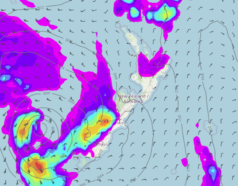
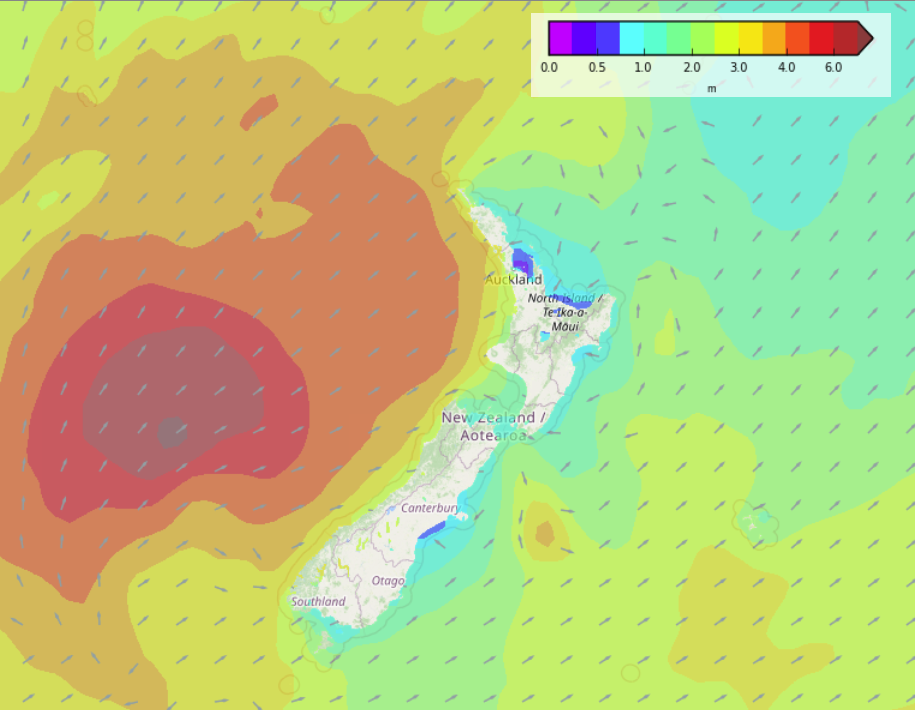
A north to northeasterly airflow lies over New Zealand today, this airflow is being pulled into a low pressure system with it’s centre sitting just west of Fiordland in the Tasman Sea.
Please refer to your local, hourly, 10 day forecast for more details.
North Island
A mix of sun and cloud, showers for Bay Of Plenty, a few pop up this afternoon for Waikato and Auckland. The lower and eastern North Island is dry today with sunny areas and some high cloud. Winds from the northerly quarter.
South Island
Rain moves in this morning along the West Coast, becoming heavy with thunderstorms possible this afternoon. The east coast is dry today but expect some high cloud, Southland and Otago may see a few showers move in this evening.


Latest Video

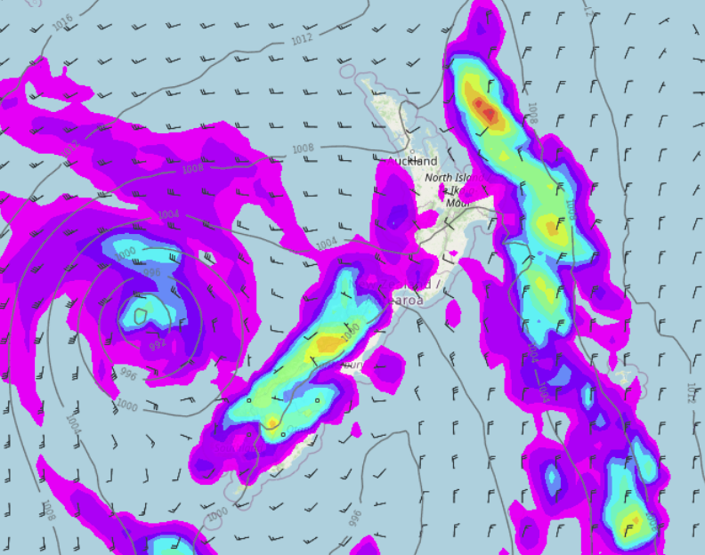
NI low pressure, SI polar change
Low pressure will move over the upper North Island this week, bringing hit and miss pockets of heavier rain into…
Related Articles
NI low pressure, SI polar change
Low pressure will move over the upper North Island this week, bringing hit and miss pockets of heavier rain into…

Rain & showers this weekend, colder change next week
Some places will warm up over the next day or so as a nor’wester out of Australia moves across NZ,…

Temperature changes for some regions ahead of heavy West Coast rain
A nor-wester is about to kick in and it’s coming from out of Australia, boosting temperatures in some regions going…

