Monday’s national forecast: Area with downpours and thunderstorms shrinks (+10 Maps)
3/01/2021 6:15pm

> From the WeatherWatch archives
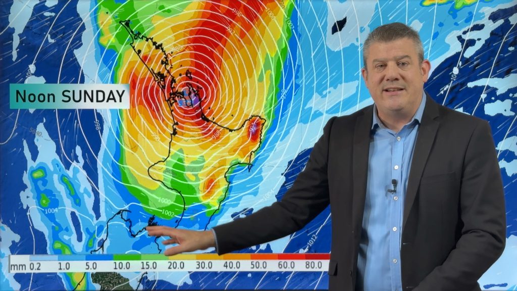
Updated 7:15am — The Central North Island will be most exposed to thunderstorms today while rain finally eases in Otago, apart from a few remaining showers.
The weak but unstable low pressure system from the weekend falls apart today as high pressure starts to grow again from the Tasman Sea. The remnants drop into the Southern Ocean away from NZ and this reduces the thunderstorm and rain threats across the country.
Afternoon downpours do develop again through the inland and central North Island but may not be so extensive in the upper North Island, or Auckland.
Today will have average to above average temperatures.
Refer to your LOCAL HOURLY forecasts to drill down deeper.


Comments
Before you add a new comment, take note this story was published on 3 Jan 2021.


Add new comment
Peter Thomas Langer on 3/01/2021 8:54pm
what a joke it supose to be a la nina and it rains in the south maybe in a el nino it will rain in the north then if we get the same rain as aus then how come we didnt get those rains after the bush fires they got….some places are going to get very dry as it never rains all the time in the same places and my 40 years of farming tells you that
Reply
WW Forecast Team on 3/01/2021 10:17pm
La Nina increases the rain risk in eastern areas so we’re not surprised to see coastal Otago in the South Island getting flooding.
– WW
Reply