> From the WeatherWatch archives
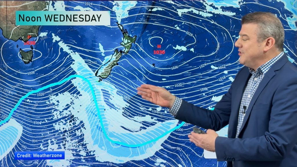
A ridge builds over the South Island today while the North Island has a southerly airflow and an offshore low departing away to the northeast.
Northland, Auckland, Waikato & Bay Of Plenty
Cloudy early on then breaking to sunny areas, south to southwesterly winds. Bay Of Plenty, a few showers clear this morning from eastern Bay Of Plenty otherwise expect areas of cloud and some sun, there may be an isolated shower move through late afternoon / evening for most as southerly winds tend more southeast.
Highs: 21-23
Western North Island (including Central North Island)
Any early showers clear the Central North Island otherwise expect morning cloud then breaking to mostly sunny weather this afternoon, southeasterly winds develop.
Highs: 20-21
Eastern North Island
Early morning rain or showers easing to the odd drizzle patch, southerly winds.
Highs: 19-20
Wellington
Fairly cloudy today with south to southeasterly winds, chance of a shower early afternoon otherwise mainly dry.
High: 16
Marlborough & Nelson
Cloud this morning about Marlborough may bring a shower or two then breaking to the odd sunny spell this afternoon. Southerlies tend easterly after midday. Nelson has a mostly sunny day, light winds.
Highs: 17-18
Canterbury
Cloudy this morning with drizzle patches clearing away, sunny areas breaking through gradually this afternoon. Southerlies tend easterly after midday.
High: 15
West Coast
Mostly sunny with west to southwest winds, any cloud and the odd shower about Buller early this morning clearing away.
Highs: 17-18
Southland & Otago
Cloudy areas about Southland with a few showers, mainly this morning. Westerly winds. Otago is mainly sunny with light winds after any morning cloud breaks away.
Highs: 14-16
By Weather Analyst Aaron Wilkinson – WeatherWatch.co.nz
Comments
Before you add a new comment, take note this story was published on 17 Apr 2016.


Add new comment