Just when you thought the rain had stopped – it’s suddenly back in the forecast
23/10/2018 8:12pm

> From the WeatherWatch archives
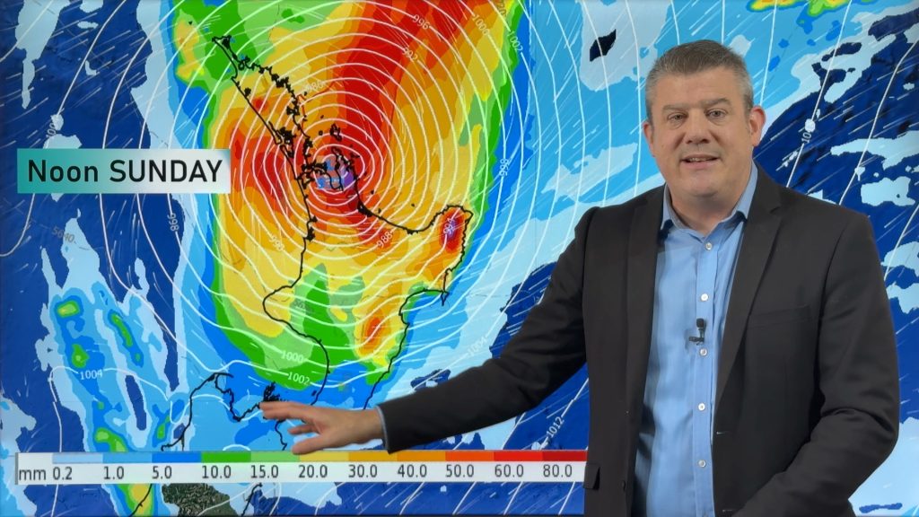
After a very dry September and October across New Zealand the rain clouds appear to be returning in the final week of October with at least three rain events coming to the nation over the next 10 days.
WeatherWatch.co.nz says at the same time that Australia declared droughts in South Australia and New South Wales, New Zealand was also entering a much gentler but significant drying out phase too. But in the past week decent rainfall has returned to large portions of eastern and southern Australia and it appears NZ may also catch some of the wet stuff too, as we seem to be sharing some of their weather pattern this spring.
The incoming southerly (which will hack away at afternoon highs in the South Island on Thursday by over 10 degrees in some places, compared to today) will bring rain and showers to the South Island on Thursday then the lower North Island overnight Thursday/early Friday.
On Saturday a burst of rain or downpours moves over the upper North Island.
On Monday another wet, cooler, sou’wester moves into the western South Island bringing rain and showers which will reach the North Island on Monday and Tuesday as a low forms over the country.
Westerlies kick back in next week for most places with another, weaker, SW cold front moving up the western side of the country around Thursday.
Not eveyone who needs rain will get relief in the week ahead – the map below indicates some areas may still have below average rainfall (pink/red shading), but the main point WeatherWatch.co.nz is making is that rain is back in the forecast again. Areas with white (no shading) indicate average rainfall for late October.
As always, a big thanks to the US Government for open data/maps below.


– WeatherWatch.co.nz
Comments
Before you add a new comment, take note this story was published on 23 Oct 2018.


Add new comment