InfoGraphic: The Main Weather News Highlights across NZ: Wed, Thu, Fri
18/04/2017 7:00pm

> From the WeatherWatch archives
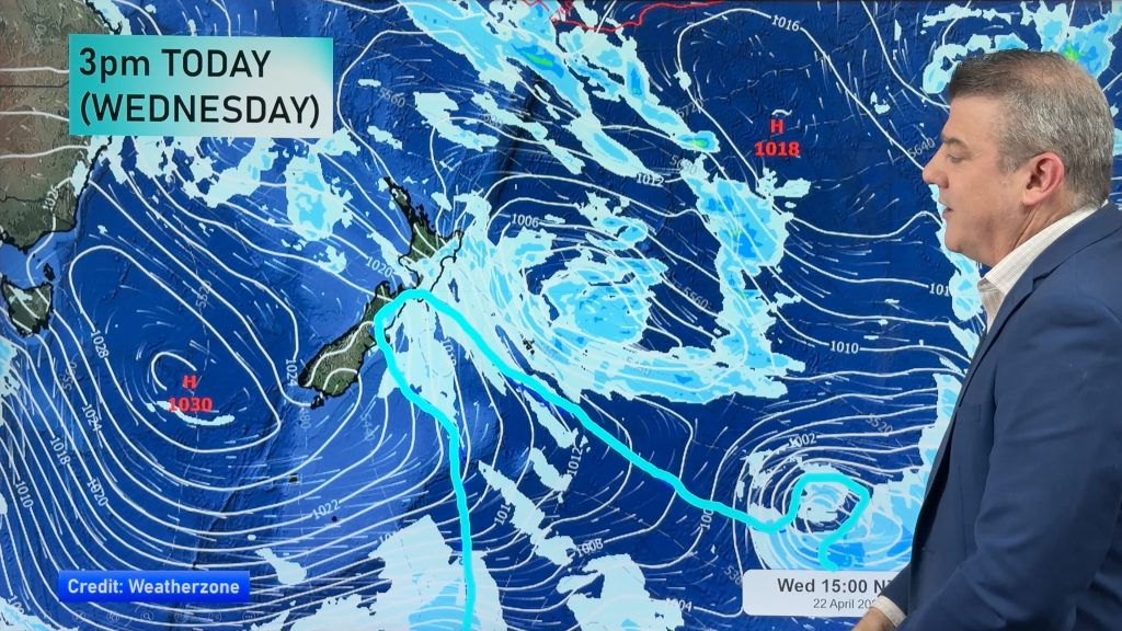
A large anticyclone sits in the Tasman Sea today and Thursday while a ridge stretches out over New Zealand. A front moving around the outside of this high moves up the eastern side of the country during this time. A ridge covers most of the country on Friday, a left over portion of Wednesday and Thursday’s front hangs over Northland during the day.
Wednesday
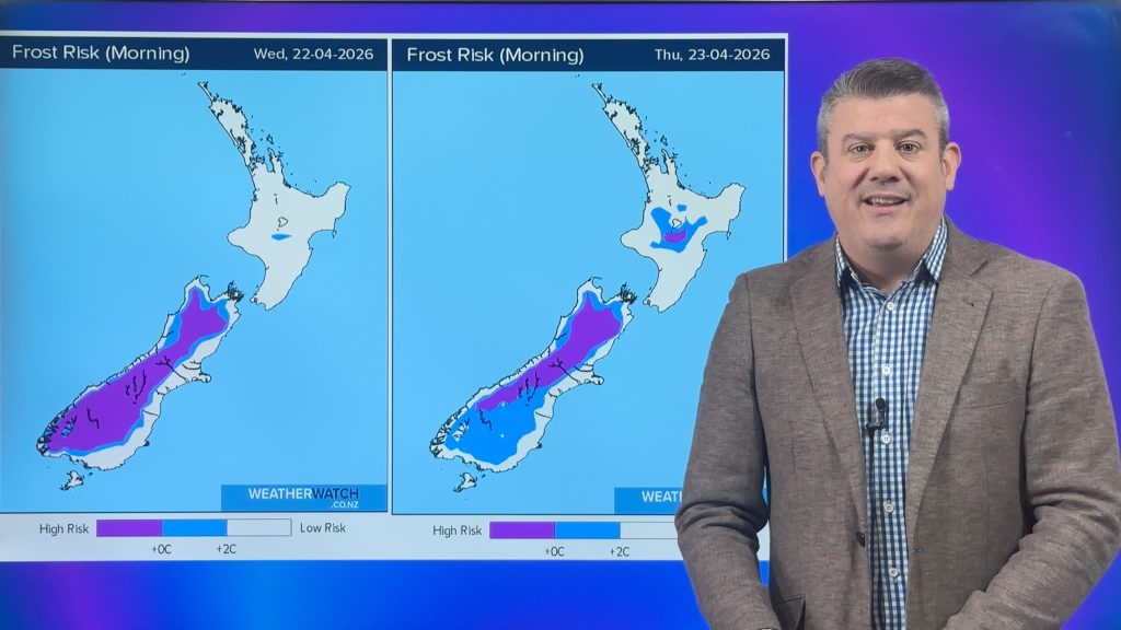
Blue – A cold start about the inner South Island, perhaps not a frost but temperatures may start out around 1 to 3 degrees for some spots.
Purple – Southwesterlies freshen along the east coast of the South Island during the day, winds generally in the brisk range about coastal fringes as a change moves through perhaps becoming strong at times.
A mainly sunny day for the Bay Of Plenty.
Thursday
Blue – A cold start about the inner South Island, perhaps just reaching down to 0 degrees in some spots.
Purple – Southwesterly winds freshen along the east coast of the North Island during the day, only just on the coastal fringes. Easing about Banks Peninsula in the morning.
Friday
Blue – Another cold start for inland areas, once again perhaps not a frost but starting out between 1 to 3 degrees celcius.

– Please note, the idea behind this update is to focus on the main weather highlights, which is why not all regions are mentioned.
For specific 10 day information for your city, town, rural community or island please see the 1500 forecasts on our homepage!
– Aaron Wilkinson, WeatherWatch.co.nz
Comments
Before you add a new comment, take note this story was published on 18 Apr 2017.


Add new comment