InfoGraphic: The Main Weather News Highlights across NZ: Tue, Wed, Thu
30/10/2017 6:00pm

> From the WeatherWatch archives
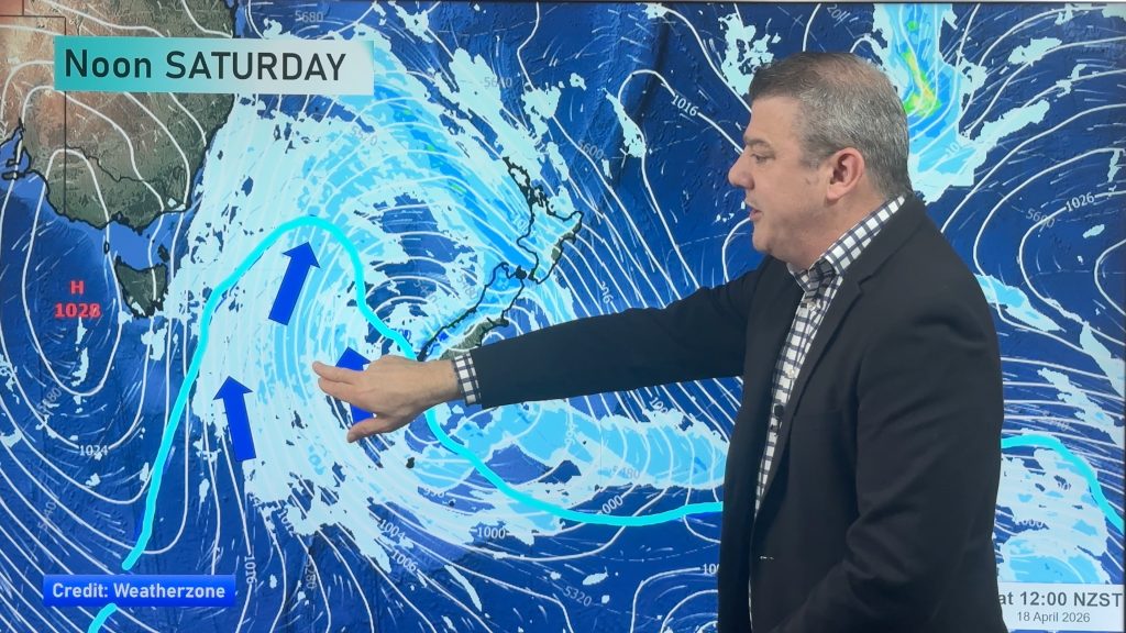
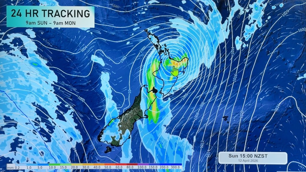
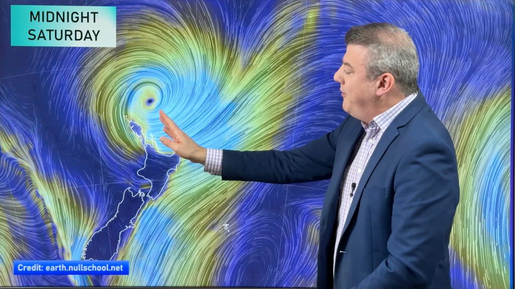
A large high continues to sit out to the east of the country today through to Thursday while a warm northeasterly airflow flows over New Zealand. On Thursday a front starts to move closer to the western side of the West Coast during the day.
Tuesday
Blue – Isolated showers developing about inland parts of the lower North Island this afternoon, some may become heavy with thunderstorms then clearing later on.
Isolated showers with the chance of heavy falls developing about the inner South Island, a chance of thunderstorms also, more so the further north one goes.
Yellow – Temperatures reaching into the mid twenties about the lower South Island in the afternoon.
Wednesday
Blue – Isolated showers about the inner South Island becoming heavy in the afternoon with thunderstorms then clearing later in the evening.
There may be isolated showers late afternoon / evening about inner parts of the lower North Island however the thunderstorm risk is low.
Yellow – Another warm day for most, especially about the lower South Island with high’s reaching into the mid twenties.
Thursday
A warm day about the lower and eastern South Island with afternoon high’s reaching into the mid 20’s, more so about inland areas.

– Please note, the idea behind this update is to focus on the main weather highlights, which is why not all regions are mentioned.
For specific 10 day information for your city, town, rural community or island please see the 1500 forecasts on our homepage!
– Aaron Wilkinson, WeatherWatch.co.nz
Comments
Before you add a new comment, take note this story was published on 30 Oct 2017.


Add new comment