InfoGraphic: The Main Weather News Highlights across NZ: Tue, Wed, Thu
31/07/2017 7:00pm

> From the WeatherWatch archives
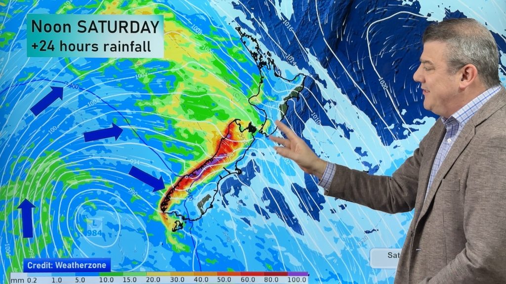
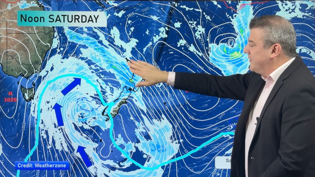
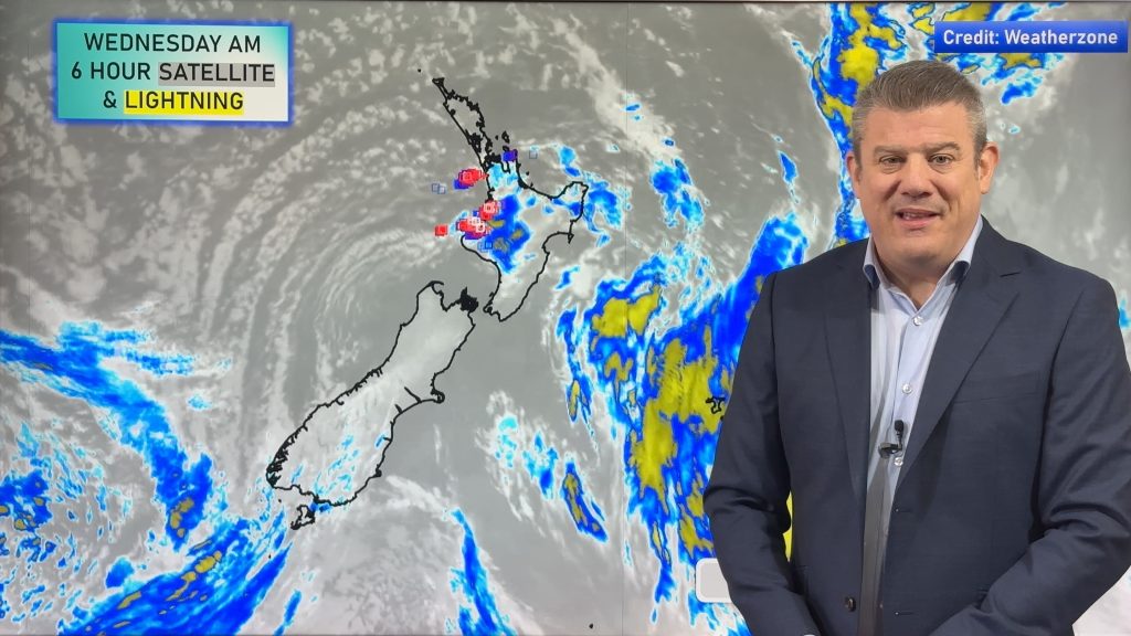
A large low brews away in the Tasman Sea today meanwhile New Zealand is caught under a ridge of high pressure. A tentacle / aka front coming out from this low affects the lower North Island and perhaps parts of the upper South Island during the day. Another front moves onto the upper North Island from afternoon on Wednesday bringing in some heavy rain then weakening and easing on Thursday.
Tuesday
Blue – A touch frosty about the lower South Island inland, no major frosts. A front lies across the lower North Island during the day which may deliver some persistent rain to the Manawatu / Kapiti regions, perhaps also Tasman in the morning.
Wednesday
Blue – As a front moves in from the Tasman Sea with it comes some heavy rain, pushing into Northland during the afternoon then moving a little further south overnight.
A nice day for the West Coast of the South Island, dry with some high cloud.
Thursday
Morning heavy rain about Auckland / Northland eases then clears away. Other regions in the east are looking mainly cloudy with some drizzle possible. Western regions fair better with some high cloud.

– Please note, the idea behind this update is to focus on the main weather highlights, which is why not all regions are mentioned.
For specific 10 day information for your city, town, rural community or island please see the 1500 forecasts on our homepage!
– Aaron Wilkinson, WeatherWatch.co.nz
Comments
Before you add a new comment, take note this story was published on 31 Jul 2017.


Add new comment