InfoGraphic: The main Weather News Highlights across NZ: Thu, Fri, Sat
15/02/2017 6:00pm

> From the WeatherWatch archives
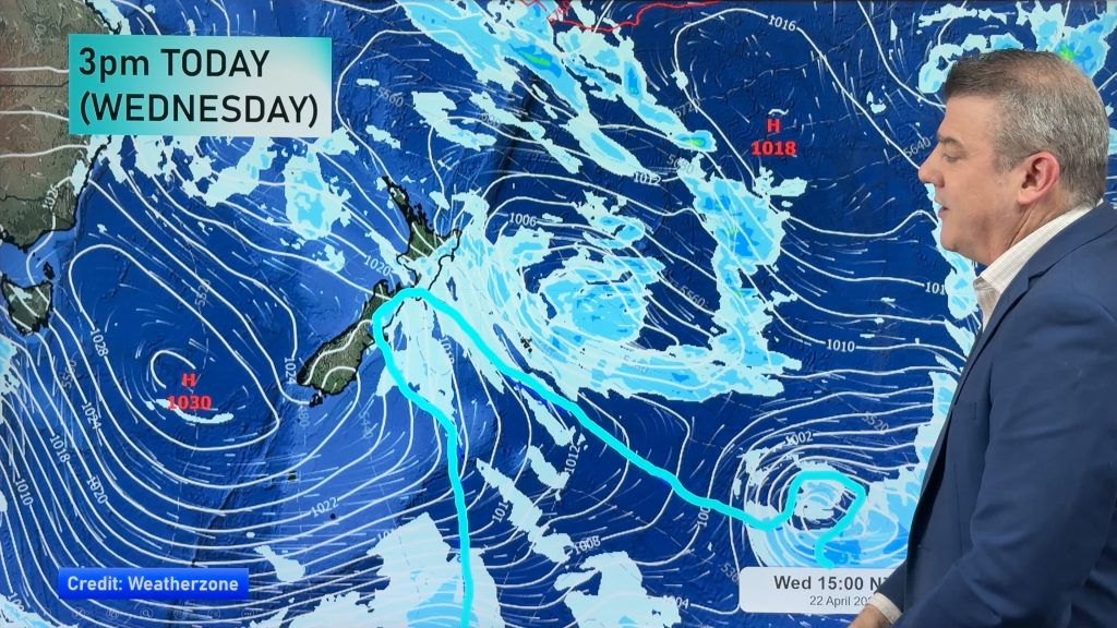
A frontal zone stays fairly stationary over the North Island today, slowly moving southwards later in the day. The rest of the country has high pressure. A weak area of low pressure sits over the North Island on Friday while northeasterlies build in the south. Becoming unstable over the North Island on Saturday.
Thursday
Blue – Rain, possibly heavy about Northland then gradually moving southwards during today. This rain could be fairly hit and miss, not likely totally dry but some areas may receive heavy falls while others may just get drizzle. It’s too hard to pinpoint where this will happen exactly. Rain slowly slinks southwards in the evening into Hawkes Bay then a little further southwards overnight.
Purple – East to northeasterly winds freshen this afternoon about the east coast of the South Island becoming brisk at times.
Yellow – High’s may reach into the mid 20’s for some inland parts of Otago this afternoon.
Friday
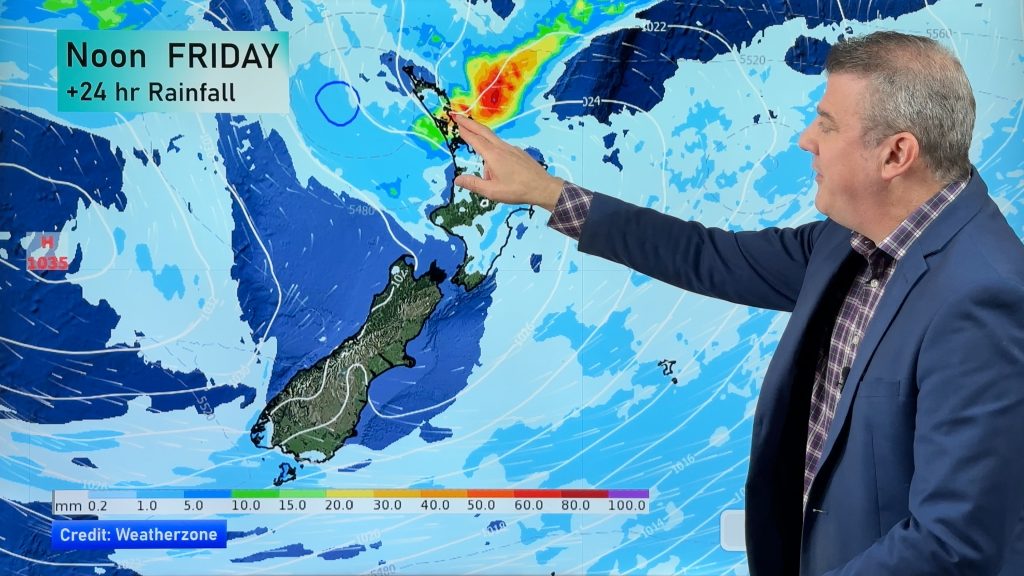
Blue – Areas of rain for much of the North Island, easing from late afternoon or evening for the upper half. Once again this rain could be a bit more hit and miss then indicated on the map below. Some may just get drizzle while others may see some persistent rain. Later in the evening or overnight areas of rain (possibly heavy) moves into the Nelson / Marlborough regions and Gisborne.
Yellow – Temperatures may just get into the mid 20 degree region for some parts of the South Island as marked below.
Saturday
Blue – Showers may become heavy with thunderstorms in the afternoon for many inland parts of the North Island, easing in the evening.
Purple – East to northeasterly winds freshen in the afternoon for the east coast of the South Island, winds may become strong about coastal Otago.
Yellow – High’s reaching into the mid 20’s for the areas marked in yellow below.

– Please note, the idea behind this update is to focus on the main weather highlights, which is why not all regions are mentioned.
For specific 10 day information for your city, town, rural community or island please see the 1500 forecasts on our homepage!
– Aaron Wilkinson, WeatherWatch.co.nz
Comments
Before you add a new comment, take note this story was published on 15 Feb 2017.


Add new comment