InfoGraphic: The Main Weather News Highlights across NZ: Thu, Fri, Sat
12/07/2017 7:00pm

> From the WeatherWatch archives
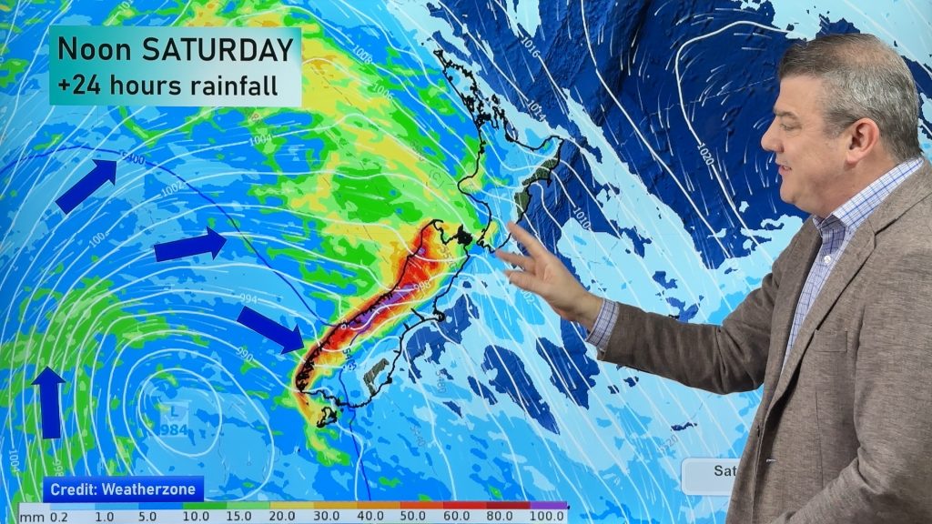
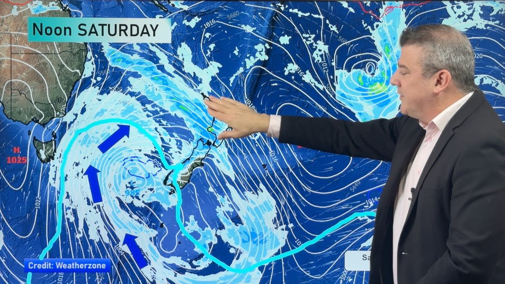
A squash zone develops between a low over the North Island and an incoming ridge in the far south today creating very strong winds about central New Zealand and some heavy rain. Friday sees a ridge slowly make some headway over the South Island while strong south to southeasterly winds ease later in the day over the North Island. Saturday finally sees a ridge covering most of New Zealand, southeasterlies about the eastern North Island ease. However it only hangs around for a day, a front is due on Sunday.
Thursday
Blue – Heavy rain affects lower parts of the North Island today (flooding looking likely about Wellington and the Wairarapa).
White – Snow flurries to 300m about Canterbury / North Otago, there may be isolated lines / areas feeding in that bring some persistent snow while other spots may see very little. The rest of Otago may see a few flurries to 300m during the day also however amounts will be fairly insignificant.
The Wellington region sees heavy snow to 400m, easing from afternoon.
Heavy snow for Wairarapa down to 600 or 500m, there is quite a sharp temperature gradient so one end of Wairarapa may have a higher snow level then further south. Snow generally sticking above 600 to 700m for Hawkes Bay and the Central North Island.
Purple – Winds very strong from the south or southeast with severe gales likely especially through the Cook Strait area. Southwesterlies becoming strong to gale about Auckland / Northland then easing in the evening.
Friday
Blue – Heavy rain moves out of the Wairarapa in the morning, into Hawkes Bay in the afternoon then Gisborne in the evening.
Heavy frosts about the lower South Island in the morning.
White – A few remaining snow flurries down to 500m about Canterbury gradually easing during the day and mostly clearing by evening. Accumulations will be fairly limited on Friday, snow is not heavy.
Snow sticking above 700 to 800m about Hawkes Bay / Gisborne. Snow to 600m about the Central North Island / Wairarapa and Wellington.
Purple – South to southeasterly winds will be strong over much of the North Island, easing in the evening. Winds strongest along the east coast and about western Northland / Auckland with gales likely.
Saturday
Finally a simple outlook, frosty!! Look out for very frosty conditions especially about much of the South Island and Central North Island. Black ice potential will be out there so take care.

– Please note, the idea behind this update is to focus on the main weather highlights, which is why not all regions are mentioned.
For specific 10 day information for your city, town, rural community or island please see the 1500 forecasts on our homepage!
– Aaron Wilkinson, WeatherWatch.co.nz
Comments
Before you add a new comment, take note this story was published on 12 Jul 2017.


Add new comment