InfoGraphic: The main Weather News Highlights across NZ: Thu, Fri, Sat
8/02/2017 9:45pm

> From the WeatherWatch archives
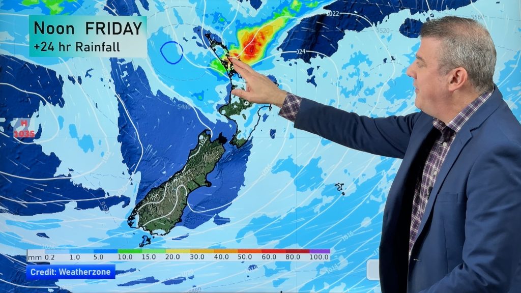
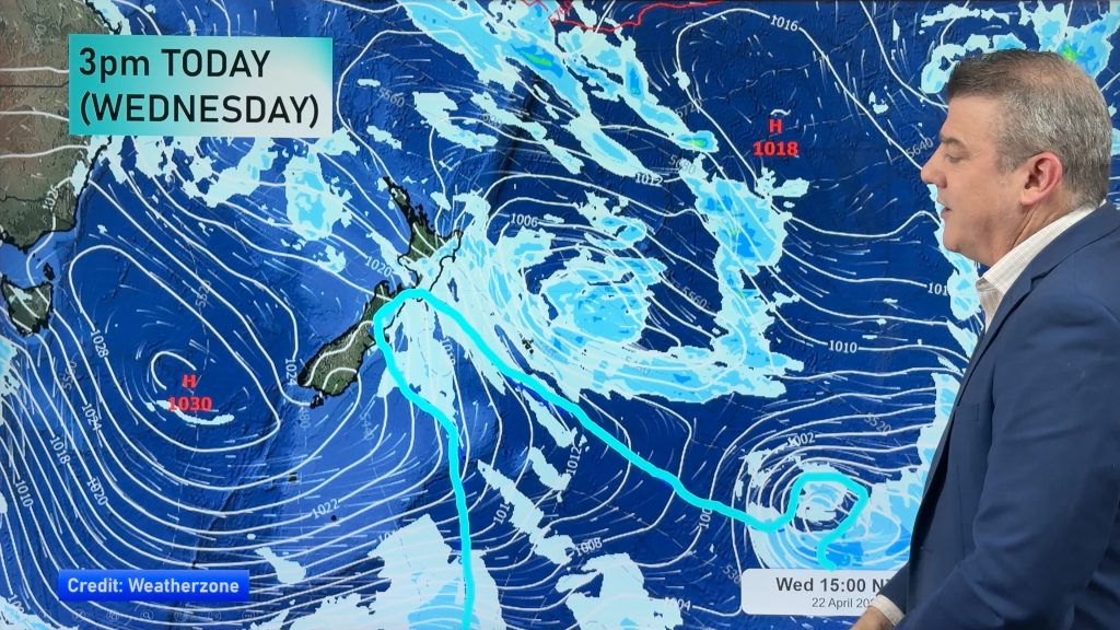
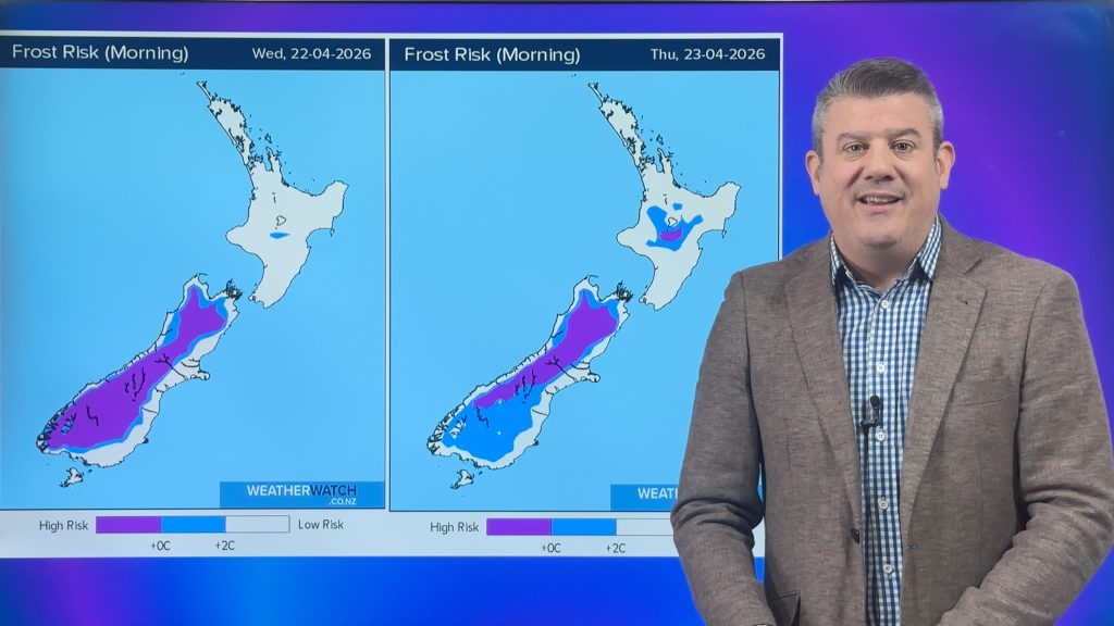
A southeasterly airflow eases over the North Island during today, meanwhile a front within this flow moves off to the northeast. The South Island has high pressure and a northeasterly airflow along the east coast, westerlies in the west. A ridge lies over the North Island on Friday, northwesterlies over the South Island with a front over the lower south. Weak high pressure for much of Saturday.
Thursday
Blue – Rain which may be heavy about exposed northeastern parts of the North Island, easing away during this morning.
Purple – Southeasterly winds strong about eastern Northland, the Cormondel and northern East Cape then easing during the afternoon.
Friday
Blue – Rain about South Westland may be heavy for a time in the morning then easing from afternoon.
Saturday
Yellow – High’s in the mid to late 20’s for the east of the South Island, mid 20’s for the Waikato and Bay Of Plenty in the afternoon.

– Please note, the idea behind this update is to focus on the main weather highlights, which is why not all regions are mentioned.
For specific 10 day information for your city, town, rural community or island please see the 1500 forecasts on our homepage!
– Aaron Wilkinson, WeatherWatch.co.nz
Comments
Before you add a new comment, take note this story was published on 8 Feb 2017.


Add new comment