> From the WeatherWatch archives
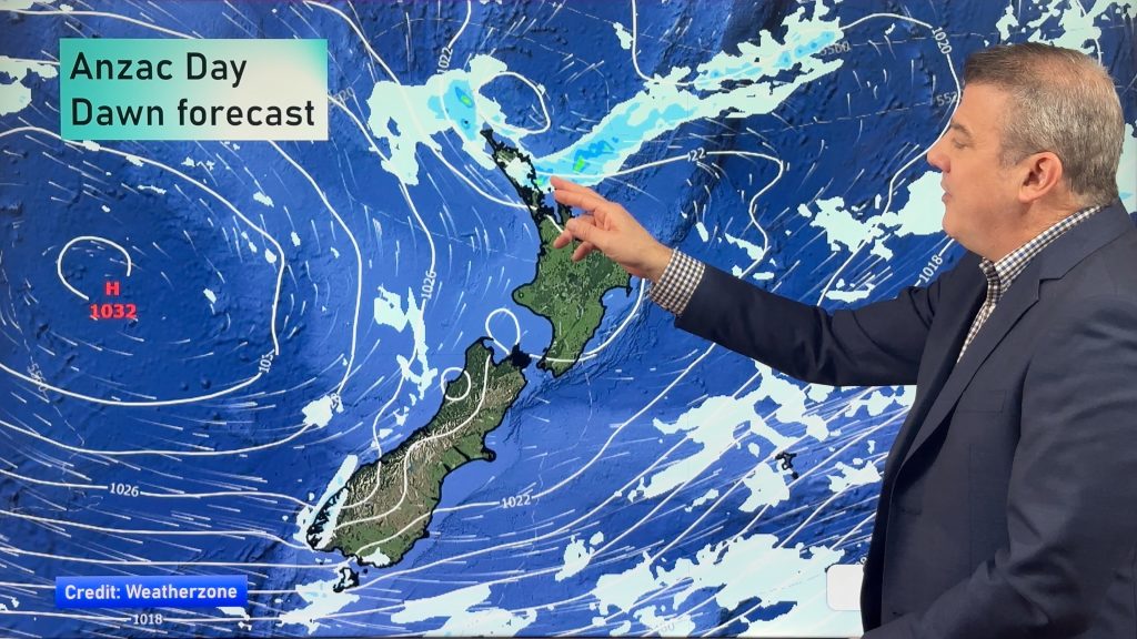
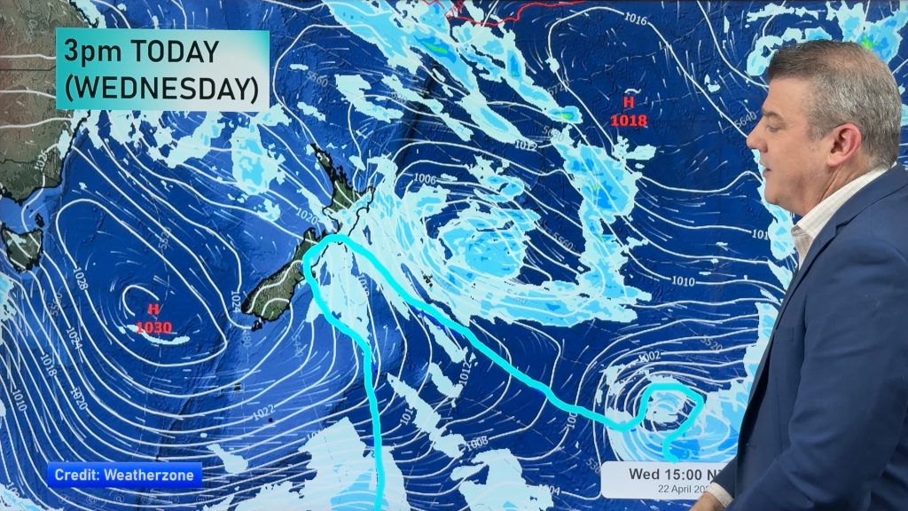
A ridge stretches out over New Zealand from an anticyclone in the Tasman Sea on Wednesday, a weakening front moves onto the lower South Island in the morning then pushes northwards (mainly in the east) during the day.
For much of the North Island in the west expect a mix of sun and cloud, there may be a light shower or two at times also otherwise conditions are mainly dry. Winds from the west or southwest. The Bay Of Plenty has a mainly sunny day.
Mainly sunny for the east coast however a few morning showers about Gisborne clear away, there may be a touch of early cloud about Hawkes Bay also.
For the South Island expect sun and cloud in the west, risk of a brief shower or two also otherwise mainly dry. Winds from the west. A sunny day for Nelson and Marlborough with light winds. Canterbury has a great day also however late afternoon or evening a southwest change freshens up bringing some cloud then late evening or overnight drizzle for some.
Southland sees a cool southwest change move in during the morning bringing showers which then clear during the afternoon, showers arrive into Otago around midday however only for a brief time.
Blue – Heavy form of precipitation.
Purple – Strong winds.
Yellow – Temperatures around the mid 20 degree mark or over.

Not all regions and towns have been mentioned above. For specific 10 day information for your city, town, rural community or island please see the 1500 forecasts on our homepage!
– Aaron Wilkinson, WeatherWatch.co.nz
Comments
Before you add a new comment, take note this story was published on 18 Apr 2017.


Add new comment