> From the WeatherWatch archives
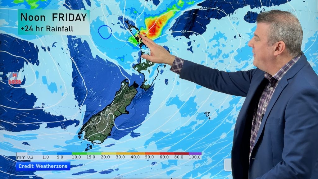
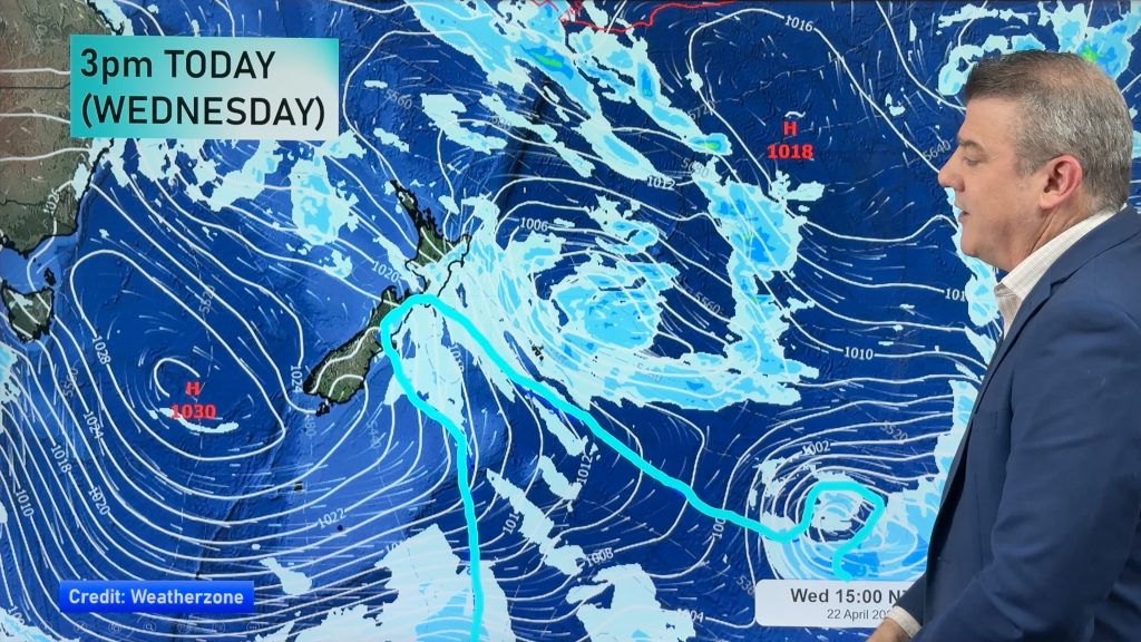
Frontal activity affects the North Island on Wednesday bringing some rain especially in the east while cool southerlies lie over the South Island.
Cloudy or becoming cloudy on Wednesday morning for the upper North Island, a few showers from afternoon and possibly even some evening rain. Southwesterlies tend southeast after midday then freshen becoming gusty about some exposed coastal areas.
A mostly cloudy day about the lower North Island in the west, a shower or two may spread from the east at times otherwise mainly dry. Winds freshen from the southeast becoming brisk to strong in the afternoon about Taranaki. The east coast sees cloudy skies with drizzle about the Wairarapa and rain further north possibly heavy at times.
Morning cloud with the chance of a drizzle patch about Nelson and Marlborough then a few sunny spells break through from afternoon. Canterbury is mainly cloudy for much of the day with southerlies, some morning drizzle clearing away. A sunny day for the West Coast, perhaps a touch of high cloud about North Westland.
Southland and Otago see sunny areas and some cloud, chance of a shower in the afternoon. South to southwesterly winds.
Blue – Heavy form of precipitation.
Purple – Strong winds
Yellow – Temperatures around the mid 20 degree mark or over.

Not all regions and towns have been mentioned above. For specific 10 day information for your city, town, rural community or island please see the 1500 forecasts on our homepage!
– Aaron Wilkinson, WeatherWatch.co.nz
Comments
Before you add a new comment, take note this story was published on 7 Feb 2017.


Add new comment