> From the WeatherWatch archives
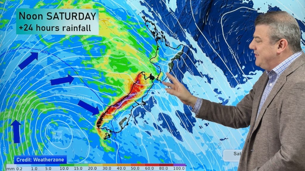
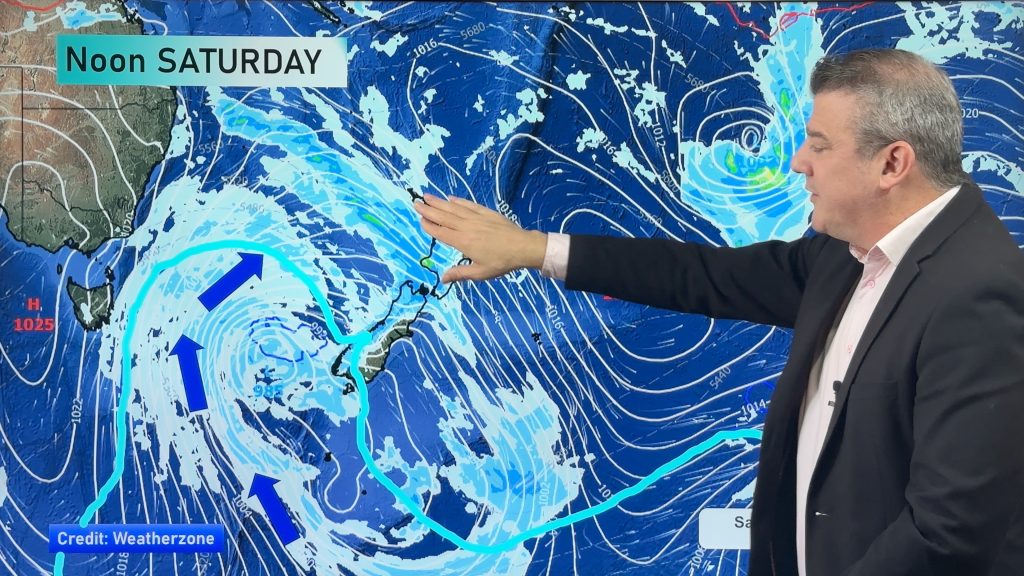
A squash zone develops between a low over the North Island and an incoming ridge in the far south on Thursday creating very strong winds about central New Zealand and some heavy rain.
About Northland and Auckland, a few showers then some afternoon rain, southwesterly winds becoming strong, may rise to gale. Rain clears in the evening with a southerly change although lingering about Northland especially in the west. The Waikato and Bay Of Plenty sees areas of cloud, chance of a shower in the afternoon as southwesterly winds change southeast.
Rain about the Manawatu, possibly the Central North Island also. Rain may be heavy then easing overnight. Snow down to 700 or perhaps 600m. Rain about the Taranaki region in the morning then easing to a few showers from afternoon. Winds strong from the southeast, gale to severe gale about the coast.
Heavy rain feeds into the Wairarapa for much of the day, this could cause flooding issues. A few showers for Hawkes Bay and mainly dry about Gisborne. The odd shower moves into Gisborne in the evening, overnight heavy rain moves out of the Wairarapa and into Hawkes Bay. Gale to severe gale southeasterly winds about the Wairarapa, lighter winds further north gradually build from the southeast afternoon onwards then becoming gusty at night. Heavy snow for Wairarapa down to 600 or 500m, it’s quite a sharp temperature gradiant so one end of Wairarapa may have a higher snow level then further south. Snow generally sticking above 700m for Hawkes Bay / Gisborne.
Morning rain for Wellington (possibly heavy with snow to 400m) then easing during the afternoon to a few showers. Gale to severe gale south to southeasterly winds.
Mainly cloudy for Nelson / Marlborough (some late afternoon sun possible for Nelson). Some morning rain possible about coastal Marlborough then there may be a shower or two about during the day otherwise mainly dry. Strong to gale southerly winds, severe gale about the Marlborough Sounds and other coastal areas, easing overnight.
Showers for Canterbury, some areas near the coast may see long dry spells. Snow flurries to 300m. Showers ease overnight. Cold southerly winds, gusty at times about North Canterbury.
Mainly sunny along the West Coast with southerly winds, a little gusty about Buller at times.
Morning cloud breaks to sunny spells in the afternoon about Southland, a bit cloudier during the day for Otago with the chance of a shower and snow flurry to 300m any of which clear in the evening, expect long dry spells for Otago also. Skies becoming cloud free overnight for most, severe frosts develop overnight especially inland. Light winds.
Blue – Heavy form of precipitation or cold temperatures, typically below 1 to 2 degrees celsius.
Purple – Strong winds.
Yellow – Temperatures around the mid 20 degree mark or over.

Not all regions and towns have been mentioned above. For specific 10 day information for your city, town, rural community or island please see the 1500 forecasts on our homepage!
– Aaron Wilkinson, WeatherWatch.co.nz
Comments
Before you add a new comment, take note this story was published on 12 Jul 2017.


Add new comment