InfoGraphic: The Big Picture for Wednesday / Thursday
27/11/2018 6:00pm

> From the WeatherWatch archives
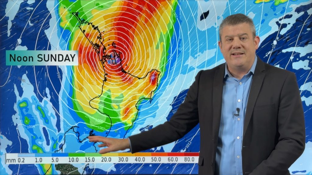
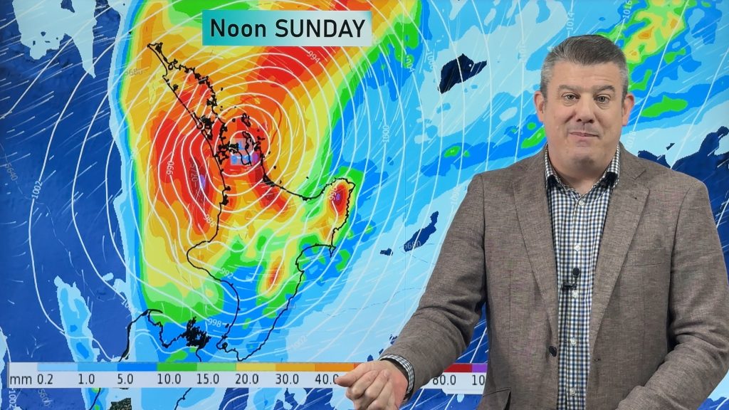
A large low is centred just to the northeast of the North Island today. This low pushes in a southeasterly airflow over most of New Zealand, tending southwest Waikato northwards. A slack pressure gradient lies over New Zealand on Thursday, still fairly cloudy but some sun about in the afternoon for various regions. More details below…….
Rain for the eastern North Island today, dry out west however showers develop in the afternoon from Taranaki through to southern Auckland. These showers may become heavy with thunderstorms then easing in the evening. A mix of sun and cloud for Northland and northern Auckland. Areas of rain or showers for Nelson down through to Canterbury, drizzle about coastal Otago. Dry spells may develop this afternoon about coastal Canterbury. Dry for the West Coast with some sun, isolated showers may develop about the ranges late afternoon / evening, some could even turn heavy mainly about Buller / Tasman. Mostly sunny about Southland.
Occasional showers continue for the eastern North Island on Thursday, a mix of sun and cloud elsewhere however an isolated shower may crop up in the afternoon just north of Auckland. Morning cloud for the east of the South Island then breaking to some sun in the afternoon, mostly sunny along the West Coast. Isolated showers may develop about the main divide late afternoon / evening otherwise mainly dry.

By Weather Analyst Aaron Wilkinson – WeatherWatch.co.nz
Comments
Before you add a new comment, take note this story was published on 27 Nov 2018.


Add new comment