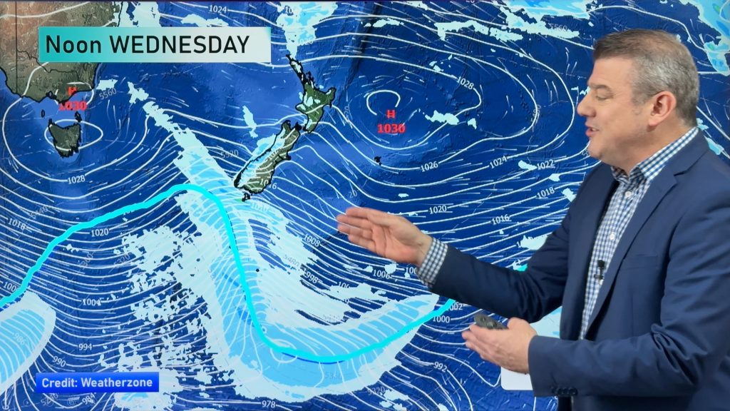
InfoGraphic: The Big Picture for Tuesday / Wednesday
12/08/2019 7:00pm

> From the WeatherWatch archives
A southwesterly airflow lies over the country today, a cold front moves onto the lower South Island this morning then reaches the western North Island in the evening. Southwesterlies continue on Wednesday but they will have eased.
Showers for much of the western North Island today, possibly heavy for a time late afternoon / evening. Mainly dry in the east after any early showers clear. Rain or showers for much of the day along the West Coast of the South Island and about Southland, Otago has a dry start then a few showers move in during the afternoon. Snow flurries lower to low levels (200m) overnight. A few showers reach Canterbury in the evening.
Cloudy areas and the odd shower for the western North Island on Wednesday, the odd shower about Wairarapa moves into Hawkes Bay and Gisborne around midday as southwesterlies freshen. Mostly sunny for South Westland, further north along the West Coast showers gradually clear from afternoon. Marlborough is mostly cloudy, risk of a shower or two. Nelson has some morning sun then cloud develops in the afternoon. Canterbury has morning cloud then sunny spells, a few showers about Banks Peninsula gradually clear. Southland and Otago has the odd shower, snow flurries to low levels in the morning then gradually lifting. Any accumulations of snow will be very minimal to non existent.

By Weather Analyst Aaron Wilkinson – WeatherWatch.co.nz
Comments
Before you add a new comment, take note this story was published on 12 Aug 2019.


Add new comment