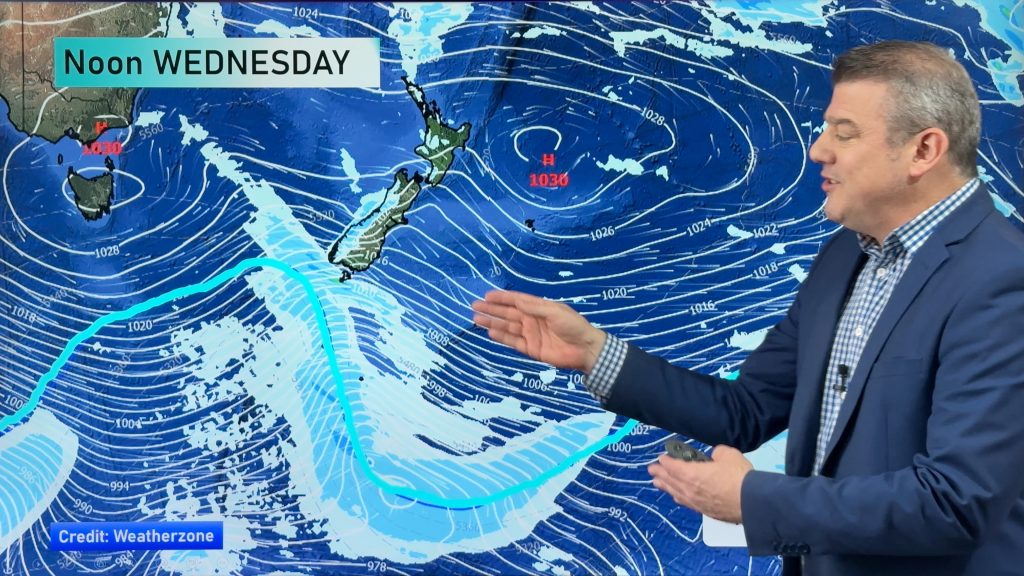
InfoGraphic: The Big Picture for Tuesday / Wednesday
11/03/2019 6:00pm

> From the WeatherWatch archives
A northerly airflow lies over New Zealand today. The flow tilts a little more northwest on Wednesday with a southwest change hitting the lower South Island around midday, reaching the upper South Island around midnight.
Dry for much of the North Island today however from Taranaki through to Wellington expect a few showers, mainly afternoon onwards. The West Coast of the South Island sees morning rain ease to the odd shower, mainly dry in the east however south of Banks Peninsula through to Otago there may be some morning rain then the risk of a shower late afternoon / evening.
Areas of rain or showers for western New Zealand on Wednesday south of about Waikato. Mainly dry in the east however a cool southwest change moves into Southland around midday reaching Canterbury in the evening bringing rain or showers.

By Weather Analyst Aaron Wilkinson – WeatherWatch.co.nz
Comments
Before you add a new comment, take note this story was published on 11 Mar 2019.


Add new comment