InfoGraphic: The Big Picture for Tuesday / Wednesday
10/12/2018 6:00pm

> From the WeatherWatch archives
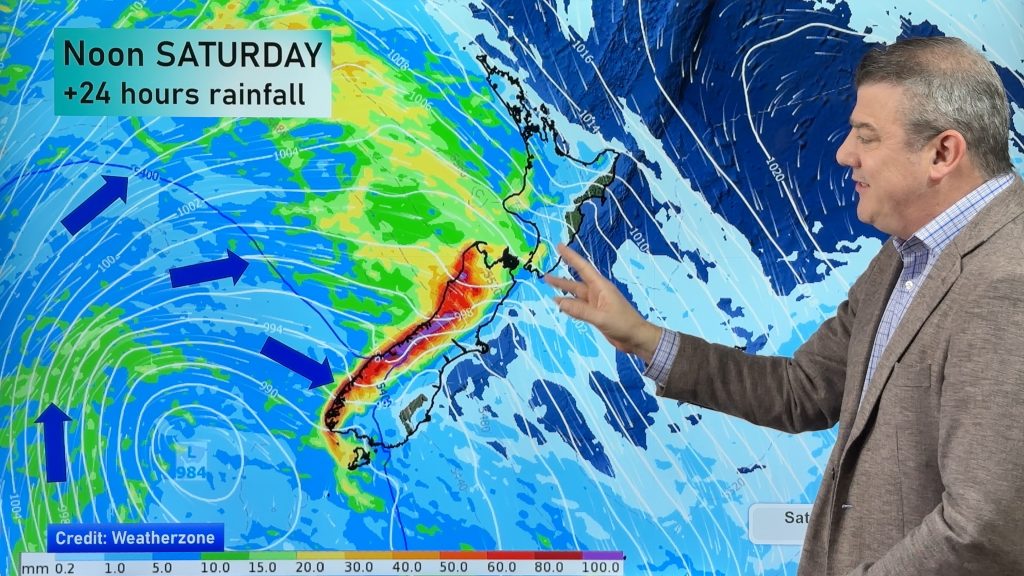
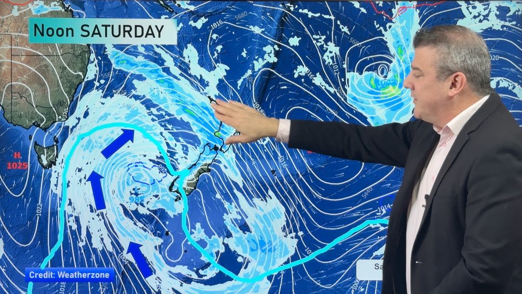
A low pressure system sits west of New Zealand in the Tasman Sea, surrounding this low is a huge area of high pressure. The low brings showery activity to most of the country today and tomorrow.
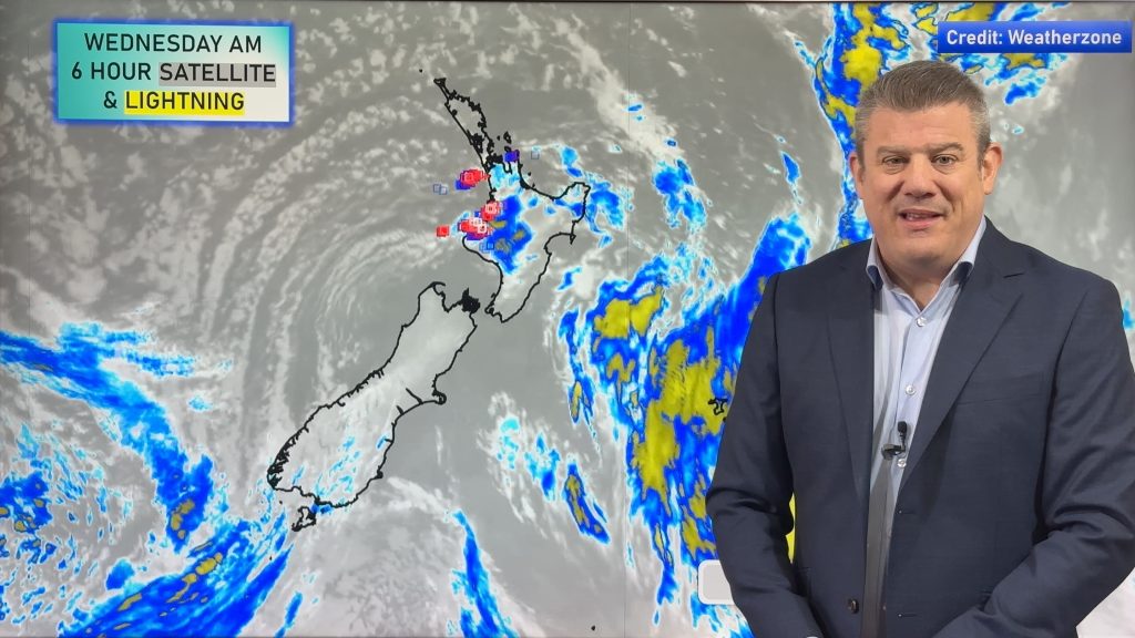
Dry for most of the North Island this morning, in the afternoon showers develop about inland areas (Waikato southwards), some may become heavy with thunderstorms then easing later in the evening. Some rain spreads into the east coast later in the evening / overnight. A mostly cloudy day for a fair amount of the South Island, expect the odd shower then becoming more persistent in the afternoon about inland areas.
A mix of showers and sunny spells for most of the North Island on Wednesday, showers becoming heavy in the afternoon (more so in the east from Northland right through down to Wairarapa) bringing a chance of thunder then easing later in the evening. Mostly cloudy for the eastern South Island with patchy rain or drizzle, the West Coast has cloudy areas and the odd shower. Showers becoming heavy in the afternoon about Buller with a chance of thunder then easing later in the evening. Southland and Central Otago are mostly cloudy and mainly dry, still the chance of a shower or two at times.

By Weather Analyst Aaron Wilkinson – WeatherWatch.co.nz
Comments
Before you add a new comment, take note this story was published on 10 Dec 2018.


Add new comment