InfoGraphic: The Big Picture for Tuesday / Wednesday
26/11/2018 6:00pm

> From the WeatherWatch archives
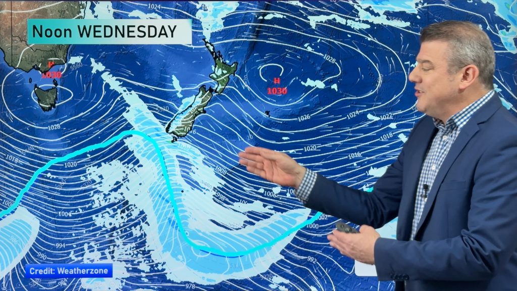
A large broad low rotates onto the North Island today from the Tasman Sea bringing unsettled for most regions. This low is centred to the northeast of the North Island on Wednesday, pushing in a southeasterly airflow over most of New Zealand, tending southwest Waikato northwards.
Another dry morning for many around the North Island today, showers developing this afternoon possibly heavy with downpours and a risk of thunder. Morning heavy rain about Wairarapa through to coastal Marlborough eases. A few showers or drizzle patches for Nelson, Canterbury and North Otago, a mix of sun and cloud elsewhere.
Rain for the eastern North Island may be heavy at times on Wednesday, showers elsewhere in the west through to about Auckland. Showers may become heavy in the afternoon with a risk of thunder for the Waikato and Bay Of Plenty. A mix of sun and cloud for Northland and northern Auckland. Areas of rain or showers for Nelson down through to Canterbury, drizzle about coastal Otago. A few showers move into Buller now and then, mainly afternoon / evening. Mostly sunny elsewhere for the West Coast and about Southland.

By Weather Analyst Aaron Wilkinson – WeatherWatch.co.nz
Comments
Before you add a new comment, take note this story was published on 26 Nov 2018.


Add new comment