InfoGraphic: The Big Picture for Tuesday / Wednesday
9/07/2018 7:00pm

> From the WeatherWatch archives
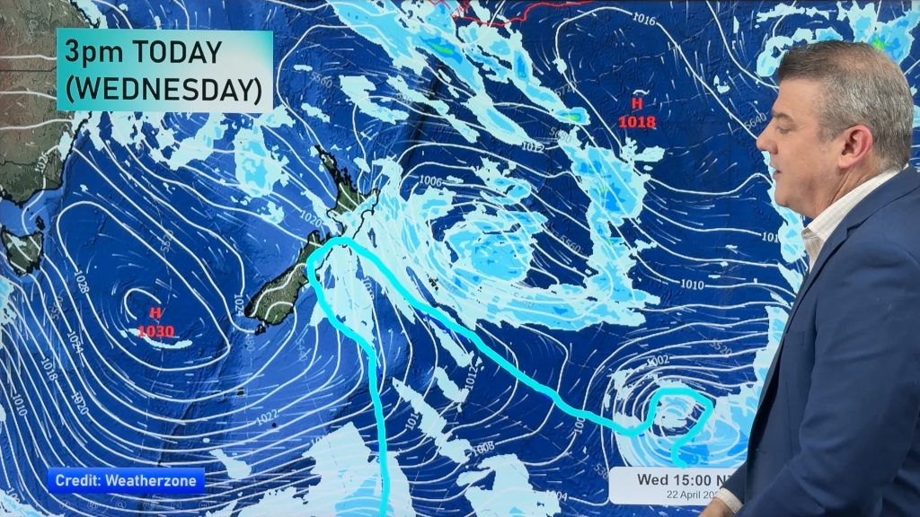
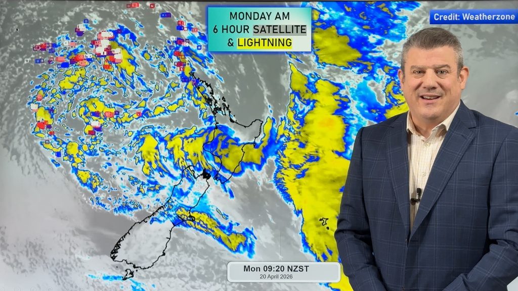
New Zealand lies under a southwesterly airflow today, potentially unstable this morning for the North Island especially in the west. A westerly airflow lies over New Zealand on Wednesday, later in the afternoon or evening a very cold but brief southwest change moves onto the lower South Island then moving northwards overnight.
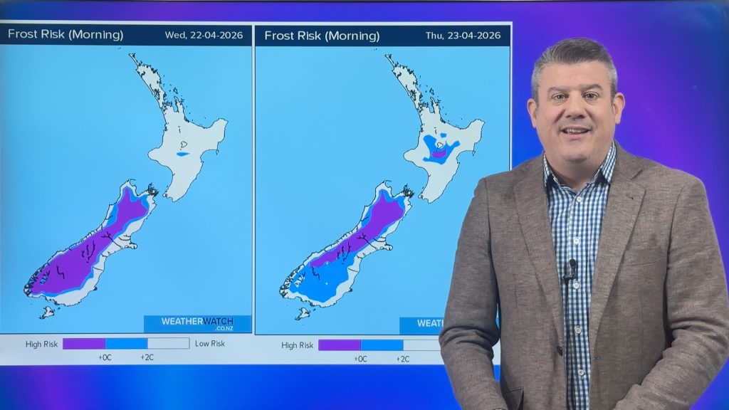
Quite unstable for the western North Island this morning, gradually easing from afternoon. A few showers affect the east coast with a southwest change. The South Island starts to clear up with a frosty start expected for many inland areas. A few showers affect Southland and coastal Otago during the day however.
A few showers for the western North Island on Wednesday, mainly from afternoon, drier and sunnier in the east. Showers for the West Coast of the South Island during the day, gradually turning to rain then easing at night. The east coast is mainly sunny, cold southwesterlies develop about the far south late afternoon / evening with a period of rain then moving northwards overnight however this front will weaken. Some snow with this cold change for a brief time down to 400m about the far south in the evening.

By Weather Analyst Aaron Wilkinson – WeatherWatch.co.nz
Comments
Before you add a new comment, take note this story was published on 9 Jul 2018.


Add new comment