InfoGraphic: The Big Picture for Tuesday / Wednesday
18/06/2018 7:00pm

> From the WeatherWatch archives
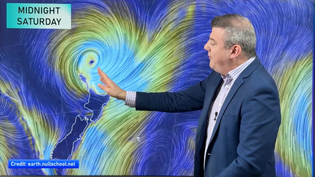
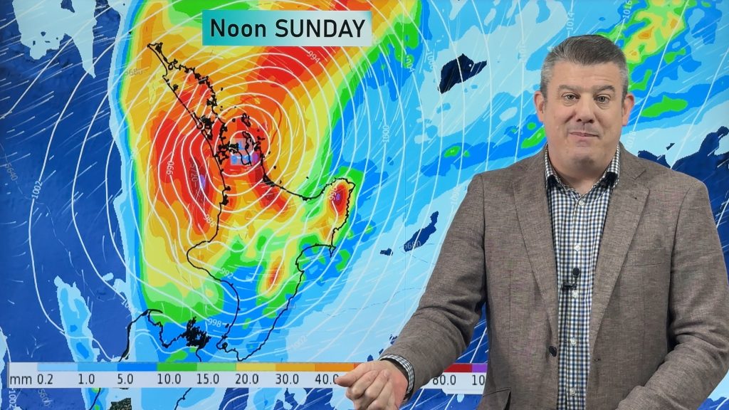
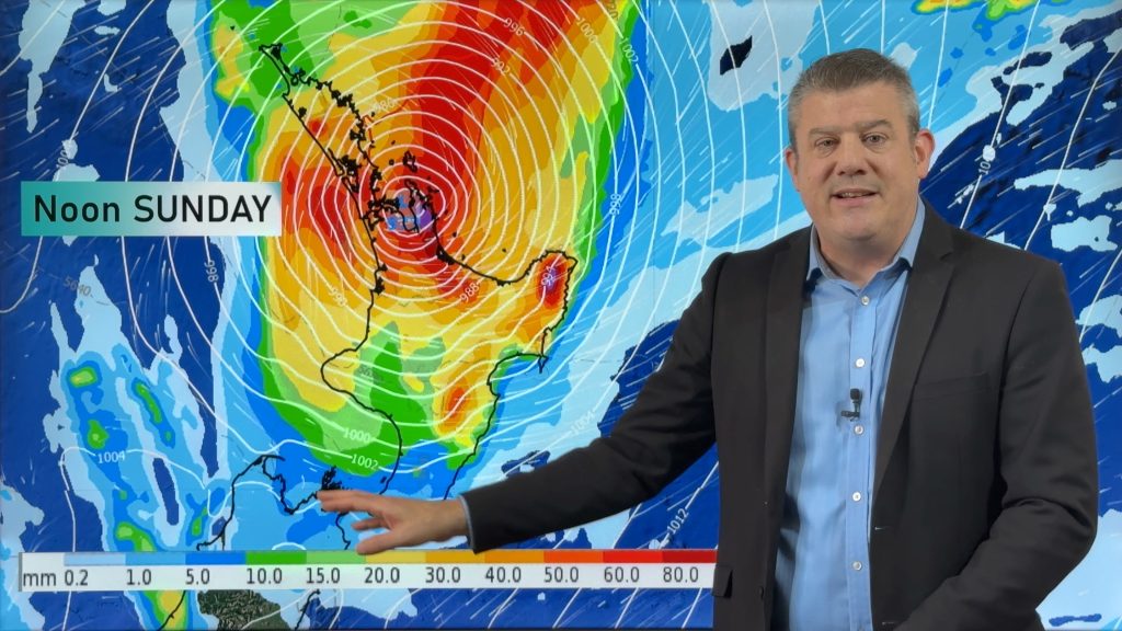
A cool southerly airflow lies over New Zealand today. A southeasterly airflow lies over New Zealand on Wednesday, strong about the upper North Island. Northland should see some heavy rain. The place to be is the West Coast of the South Island with mainly sunny weather in store.
A mix of sun and cloud for the upper North Island today, there may be a shower or two about especially late afternoon / evening. Dry in the morning for Hawkes Bay and Gisborne, showers about Wairarapa spread northwards from afternoon. Showers at times in the west Taranaki southwards, clearing overnight.
Sunny for the West Coast of the South Island, showers in the northeast gradually ease and mostly clear in the afternoon although one or two may hang on till evening. Any early showers clear Southland / Otago then some sun may even break through. Some drizzle pushes back in during the evening.
Rain for Northland may be heavy on Wednesday, winds strong from the southeast especially offshore. Showers for northern Auckland, drier further south. The east coast has a cloudy day with patchy rain or drizzle, drier out west with cloudy areas and occasional sun. Mostly cloudy for the South Island’s east coast, some drizzle possible also. Areas of sun break through in the afternoon for Southland and Otago.

By Weather Analyst Aaron Wilkinson – WeatherWatch.co.nz
Comments
Before you add a new comment, take note this story was published on 18 Jun 2018.


Add new comment