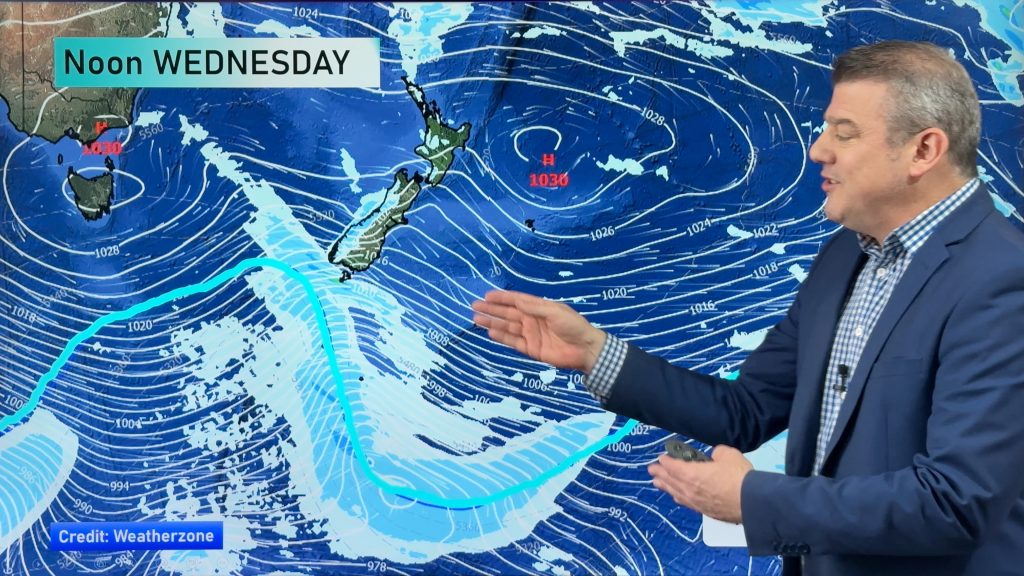
InfoGraphic: The Big Picture for Thursday / Friday
17/10/2018 6:00pm

> From the WeatherWatch archives
An anticyclone spreads out over New Zealand today however just before it does a front races northwards over the South Island this morning. This front will weaken as it moves northwards, moving onto the lower North Island by midday. An anticyclone brings mainly settled and sunny weather to New Zealand on Friday, just the West Coast of the South Island is a bit cloudier than elsewhere.
Mostly cloudy for the upper North Island today, there may be a light shower in the morning then areas of sun breaking through from mid or late afternoon. The Bay Of Plenty has a mostly sunny day. Cloud about Taranaki southwards in the west breaks to sun in the afternoon as southeasterlies develop. A mostly sunny morning from Wellington through to Gisborne, southerlies pick up about Wellington late morning quickly moving into Gisborne early afternoon bringing some cloud and the risk of a shower or two.
Morning cloud for the West Coast of the South Island with the chance of a light shower, sun breaks through from afternoon. Morning high cloud for Nelson and Marlborough then mostly sunny with onshore winds. Canterbury sees a few morning showers then sun breaks through from afternoon, southerlies tend northeast by evening. Early showers (before dawn) clear about Southland and Otago then becoming mostly sunny in the afternoon with easing southwesterly winds.
Mostly sunny for the North Island on Friday, just some cloud passing through Northland at times, there could also be some morning cloud about Bay Of Plenty. Temperatures getting warm with afternoon high’s approaching the mid twenties in some areas. The West Coast of the South Island has a mostly cloudy day, perhaps a light shower or two also, sunny and warm in the east.

By Weather Analyst Aaron Wilkinson – WeatherWatch.co.nz
Comments
Before you add a new comment, take note this story was published on 17 Oct 2018.


Add new comment