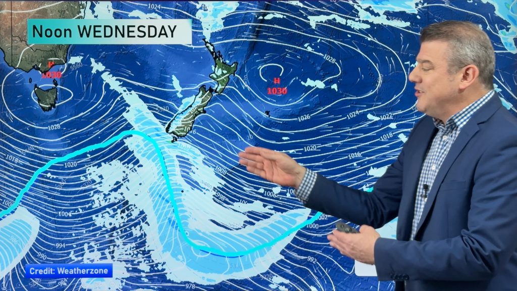
InfoGraphic: The Big Picture for Thursday / Friday
3/10/2018 5:54pm

> From the WeatherWatch archives
A low pressure system brings some rain to Northland today meanwhile about the far south a front moves onto Southland this morning, in between conditions are a little more settled with a ridge of high pressure. A front slowly moves northwards over the South Island on Friday, weakening as it pushes northwards. Meanwhile a low moves southeast past the northeastern side of the North Island during the day.
Some rain for Northland today, possibly heavy at times in the east then clearing away in the evening. Mainly dry elsewhere however a few isolated shower are possible late afternoon / evening through into inland Waikato / Bay Of Plenty. A chance of morning fog about the Waikato. Mostly cloudy for the West Coast of the South Island, rain with a chance of heavy falls moving into Fiordland during the morning. Drier out east with some high cloud, rain or showers move into Southland during the morning then Otago in the afternoon with a southwest change.
Fairly settled across most of the North Island on Friday, some morning cloud in the northeast breaks away then conditions are mostly sunny. A chance of morning fog for inland areas. Rain or showers north of about the Glaciers eases during the day, mostly clearing by evening. Fairly cloudy in the east with southerlies, a light shower or two possible for Canterbury especially inland. Inland Marlborough may see heavy isolated showers late afternoon / evening.

By Weather Analyst Aaron Wilkinson – WeatherWatch.co.nz
Comments
Before you add a new comment, take note this story was published on 3 Oct 2018.


Add new comment