InfoGraphic: The Big Picture for Thursday / Friday
12/09/2018 7:00pm

> From the WeatherWatch archives
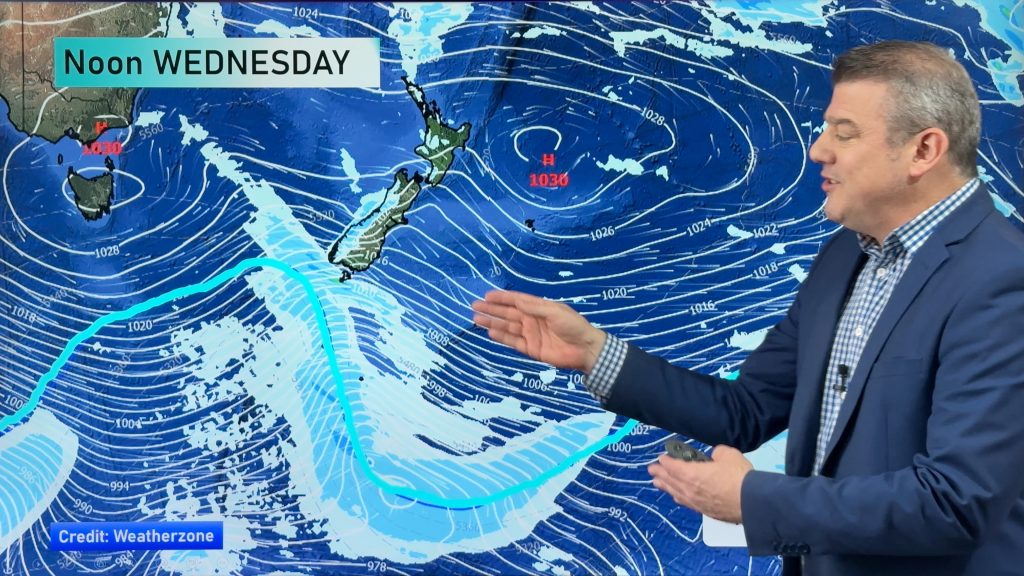
A westerly quarter airflow lies over New Zealand today, moving around a large high centred to the northwest of the North Island. Meanwhile a front pushes northwards over the South Island during the day, weakening as it moves north. An anticyclone continues to bring a westerly airflow over New Zealand on Friday.
Cloudy areas for the western North Island today, especially western Waikato southwards. Sunnier conditions out east. Heavy rain slowly pushes northwards along the South Island’s West Coast during the day, drier in the east with high cloud. Winds are gusty for much of the South Island during the day, perhaps strong at times for inland areas and through the Straits.
Morning cloud breaks to sunny areas for the western North Island on Friday, Taranaki southwards may see cloud persist for a longer period of the day. Mainly sunny conditions in the east. The West Coast of the South Island sees early rain ease to the odd shower, afternoon sun breaks through. Mostly sunny along the east coast with warm afternoon temperatures.
By Weather Analyst Aaron Wilkinson – WeatherWatch.co.nz
Comments
Before you add a new comment, take note this story was published on 12 Sep 2018.


Add new comment