> From the WeatherWatch archives
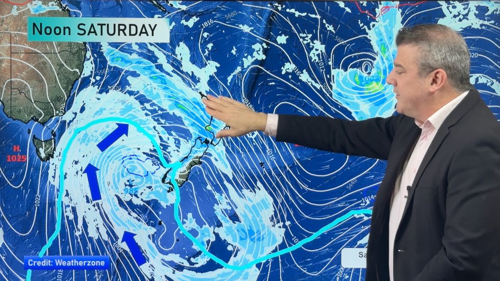
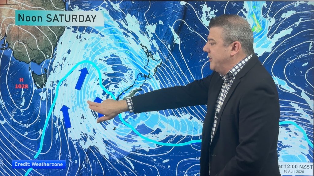
A cold front pushes northwards over the South Island during Thursday, reaching the lower North Island in the evening.
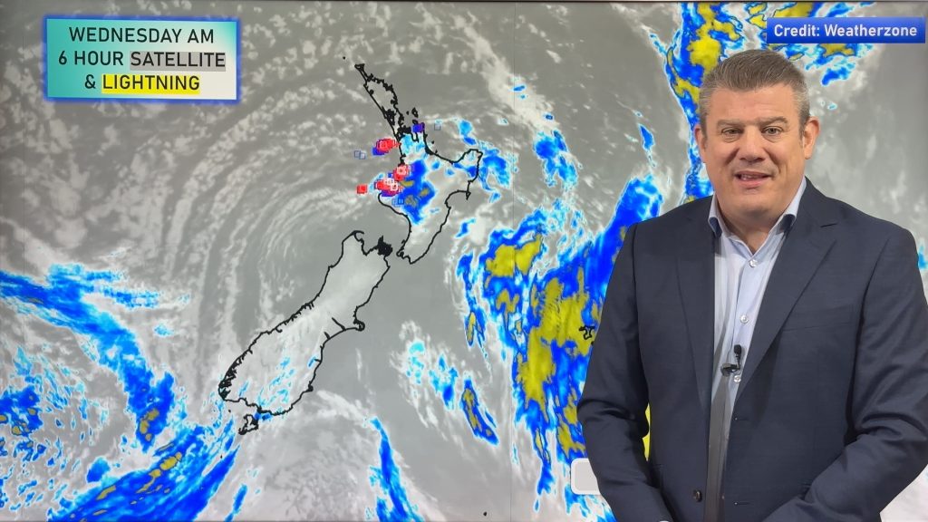
Heavy rain spreads fairly promptly along western New Zealand on Thursday reaching the lower western North Island in the evening, rain could contain hail and thunderstorms. Westerlies becoming strong about the western North Island from afternoon. The odd shower for Northland and Auckland then overnight heavy showers. Mostly sunny in the east, any early rain clears Gisborne, spots of rain possible about Wairarapa in the evening.
Scattered morning rain for Southland and Otago then showers push northwards late afternoon and evening, possibly heavy with some hail. Snow to 500m about the lower South Island in the evening.

By Weather Analyst Aaron Wilkinson – WeatherWatch.co.nz
Comments
Before you add a new comment, take note this story was published on 5 Jun 2019.


Add new comment
Guest on 5/06/2019 4:18am
that low hasn’t devolped well the rain was too scattered
Reply