InfoGraphic: The Big Picture for Saturday / Sunday
5/07/2019 3:54am

> From the WeatherWatch archives
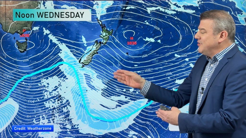
A cold southerly airflow covers the country on Saturday and will gradually ease, running between a large high to the west of New Zealand and a low to the east. A westerly airflow picks up over the country on Sunday.
A few showers continue to push into the North Islands east coast on Saturday, morning cloud then mostly sunny out west. Another sunny day for the South Islands West Coast and Nelson, some cloud for most in the east with a few showers out on Banks Peninsula. There is there risk of shower or two about Southland and coastal Otago through till evening otherwise mainly dry.
Sunny areas and increasing cloud for western regions on Sunday, mainly sunny out east. A few showers move into Southland from afternoon.

By Weather Analyst Aaron Wilkinson – WeatherWatch.co.nz
Comments
Before you add a new comment, take note this story was published on 5 Jul 2019.


Add new comment