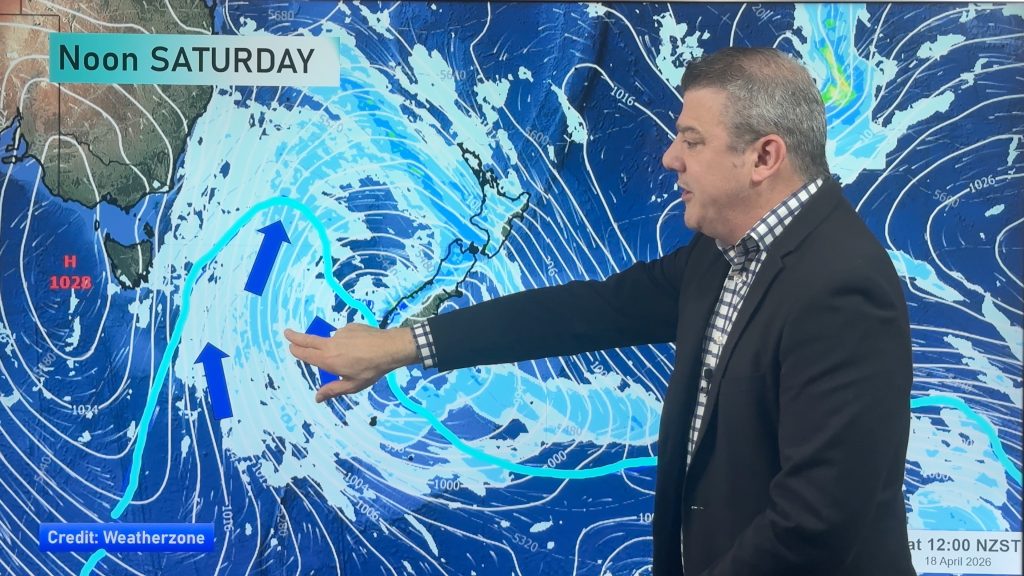
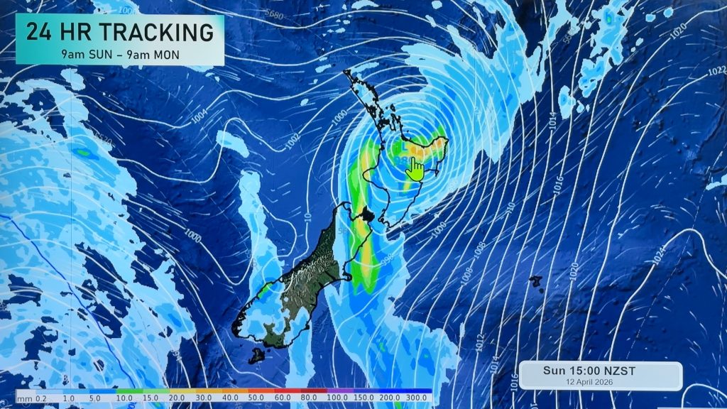
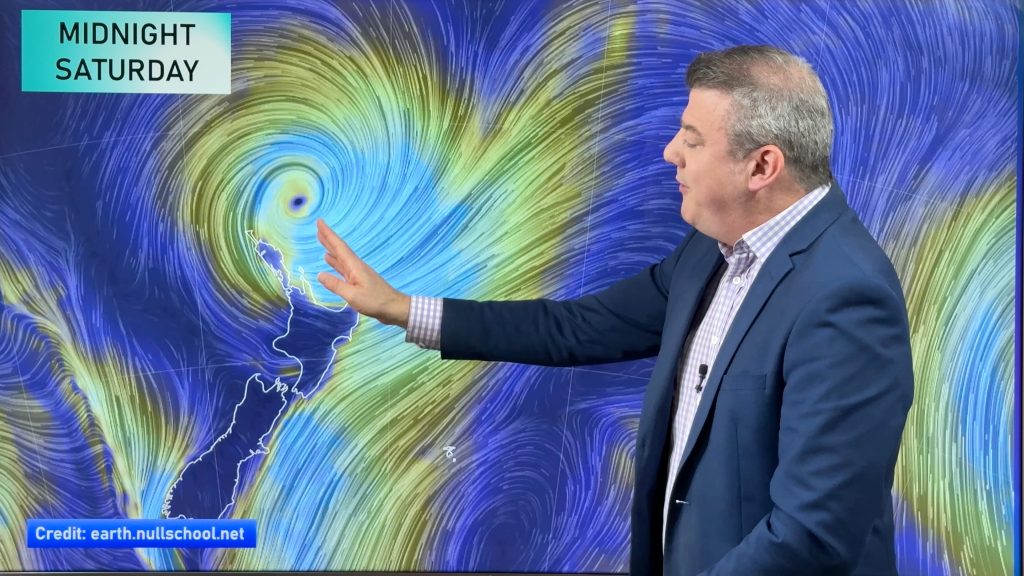
InfoGraphic: The Big Picture for Saturday / Sunday
7/12/2018 1:40am

> From the WeatherWatch archives
An anticyclone drags a west to southwesterly airflow over New Zealand on Saturday, conditions are mainly settled although a front about the far south may bring a few spots of rain. The airflow tilts a little more southwest on Sunday.
Mainly settled on Saturday, some high cloud for most of the South Island and lower North Island. Some mid level cloud possible at times along the West Coast of the South Island. Southland and perhaps Otago may see a few spots of rain.
A similar outlook on Sunday however late afternoon or evening a few showers move up both sides of the South Island to be level with about Banks Peninsula, there is a chance these showers about Canterbury could become heavy with a risk of thunder for inland areas. Showers ease later in the evening then some low cloud and drizzle spreads to most parts of Canterbury overnight.

By Weather Analyst Aaron Wilkinson – WeatherWatch.co.nz
Comments
Before you add a new comment, take note this story was published on 7 Dec 2018.


Add new comment