InfoGraphic: The Big Picture for Saturday / Sunday
23/11/2018 4:19am

> From the WeatherWatch archives
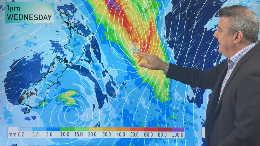
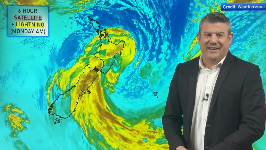
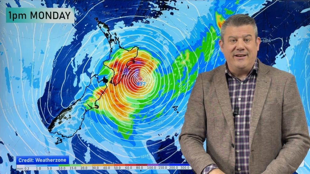
A big low in the Tasman Sea flings a front over New Zealand on Saturday bringing some wet weather to most regions, rain may be heavy about the northeastern side of the North Island. Unsettled weather continues on Sunday with conditions ramping up as low pressure moves in.
Showers for most North Island regions on Saturday, a period of rain in the morning about Northland and Coromandel (especially in the east) may be heavy. Thunderstorms develop in the afternoon Auckland northwards (highest risk is for Northland) with heavy downpours possible. The South Island sees areas of rain or drizzle for most regions, Central Otago is looking mainly dry till afternoon, Southland has a mainly dry day.
A low pressure system brings areas of rain to much of the North Island on Sunday, heavy falls are possible especially in eastern areas. Rain may be heavy at times in the west also but this may be more associated with thunderstorms. The South Island sees a rainy day in the north and east, rain may be heavy at times for Canterbury, the West Coast is mainly dry apart from the chance of an early clearing shower.

By Weather Analyst Aaron Wilkinson – WeatherWatch.co.nz
Comments
Before you add a new comment, take note this story was published on 23 Nov 2018.


Add new comment