InfoGraphic: The Big Picture for Saturday / Sunday
2/11/2018 2:00am

> From the WeatherWatch archives
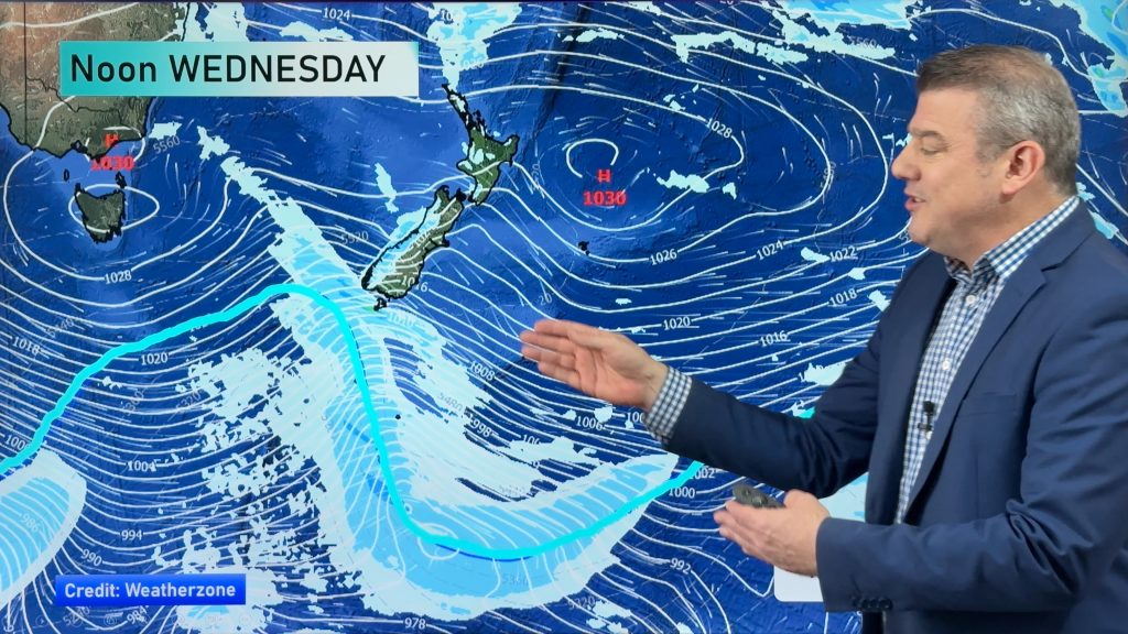
A strong northwesterly airflow lies over New Zealand on Saturday, a cold front then moves onto the South Island from afternoon then the North Island overnight. This front clears the North Island on Sunday out to the northeast, a gusty westerly airflow lies over the country during the day.
Some rain for the western North Island on Saturday, easing in the evening then picking up again overnight. Auckland northwards has a fairly dry day however there may be a few spits in the afternoon. Scattered rain for the east coast on Saturday clears away in the afternoon, winds from the northwest. Gales likely through Cook Strait afternoon onwards. Heavy rain (possibly torrential) for the West Coast of the South Island, easing during the evening. Morning spots of rain in the east then mainly dry with high cloud, winds strong from the northwest especially about inland areas where gales are possible from afternoon.
Morning rain or showers for much of the North Island then clearing with some afternoon sun, especially in the east meanwhile out west areas of cloud may be more persistent. Rain for the West Coast of the South Island will ease during the day, possibly heavy in the morning. Nelson, Marlborough and Canterbury are looking to have mainly dry weather, a few spots of early rain possible for Nelson and Marlborough then clearing. Canterbury sees a small southerly flick come through late afternoon / evening and this could bring a few showers, perhaps even a thundery fall with some hail but this may be mainly just offshore south of Banks Peninsula. Southland and inland Otago is wet most of the day, coastal Otago may be dry till afternoon then showers move in with a risk of small hail.

By Weather Analyst Aaron Wilkinson – WeatherWatch.co.nz
Comments
Before you add a new comment, take note this story was published on 2 Nov 2018.


Add new comment