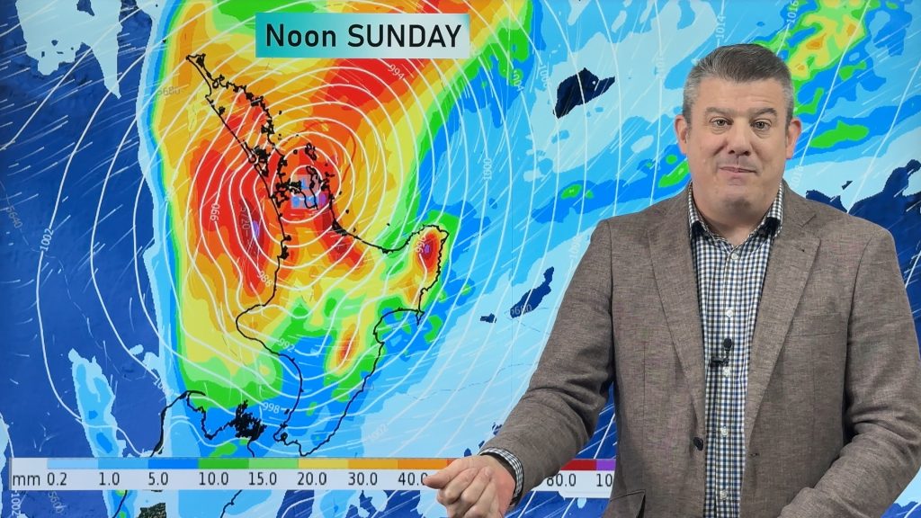
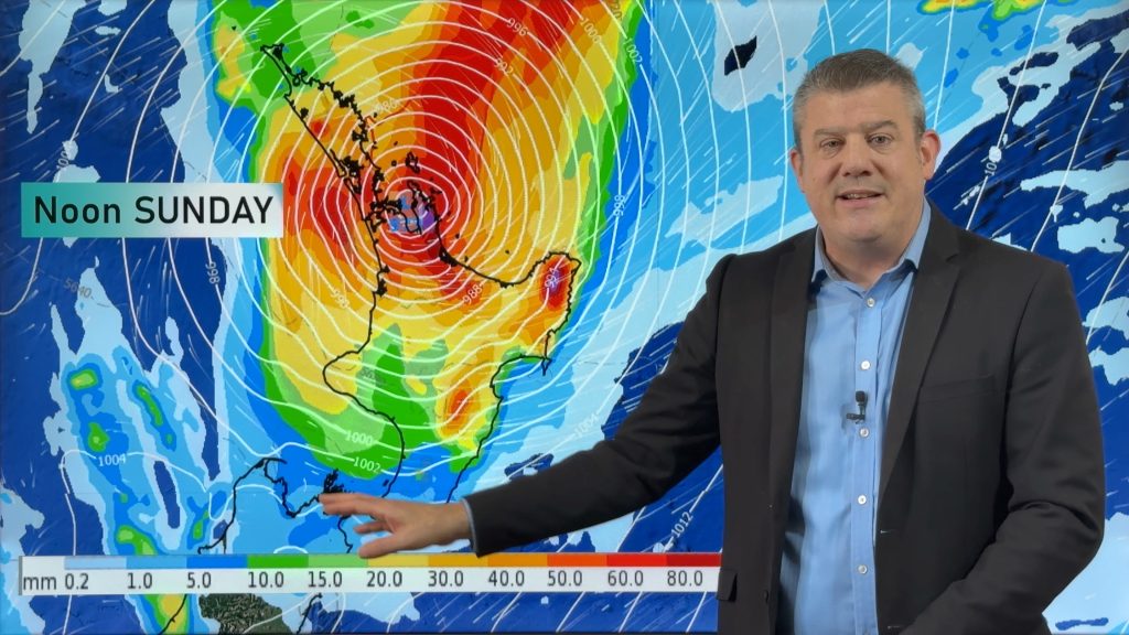
InfoGraphic: The Big Picture for Saturday / Sunday
28/09/2018 3:18am

> From the WeatherWatch archives
An anticyclone lies over much of the North Island on Saturday meanwhile expect northwesterlies for the South Island. A front moves onto the lower South Island around midday. A low slowly moves towards the South Island on Sunday bringing heavy rain in the west, dry for much of the North Island however a front brings rain to the west late afternoon or evening.
Mainly settled for the North Island on Saturday, some cloud at times in the west. The South Island has mostly cloudy skies in the west bringing the odd shower, rain moves into Fiordland in the morning bringing heavy falls. Sunny in the east with increasing high cloud, some rain moves into the far south around midday.
A mainly dry day for much of the North Island on Sunday, the odd light shower for Taranaki then rain moves in late afternoon or evening bringing the chance of heavy falls. A warm day in the east with temperatures reaching into the high teens. Heavy rain spreads northwards along the West Coast of the South Island during the day, the heaviest falls will be about South Westland. Morning rain eases about Southland, the odd scattered fall for Otago may spread into Canterbury south of Banks Peninsula.

By Weather Analyst Aaron Wilkinson – WeatherWatch.co.nz
Comments
Before you add a new comment, take note this story was published on 28 Sep 2018.


Add new comment