InfoGraphic: The Big Picture for Saturday / Sunday
21/09/2018 7:15pm

> From the WeatherWatch archives
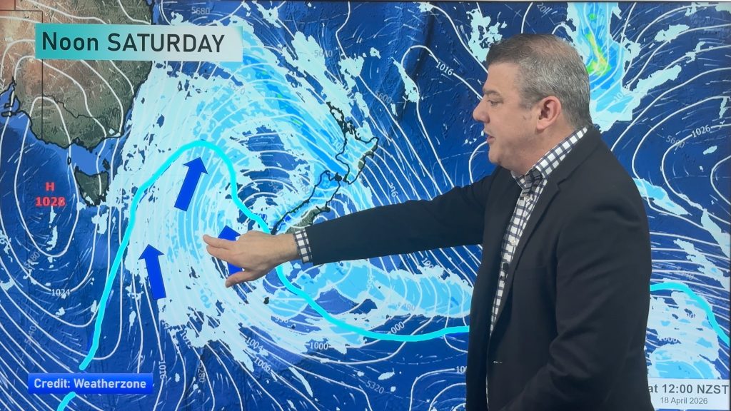
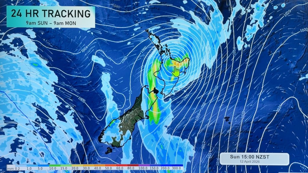
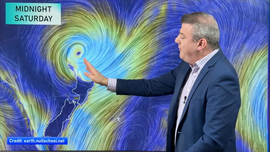
A ridge brings settled weather to the South Island on Saturday while a southeasterly airflow lies over the North Island. A ridge brings fairly settled weather to most of New Zealand on Sunday, meanwhile a front moves onto the lower South Island around midday.
A few showers, mainly Auckland northwards on Saturday for the upper North Island. Mainly dry elsewhere with any early morning showers clearing. The east coast sees mostly cloudy skies with the odd shower. Morning cloud in the west Taranaki southwards clears then mostly sunny. Mainly sunny and settled for the South Island on Saturday, some cloud for the far south.
Settled for a majority of the North Island on Sunday, a few showers Hawkes Bay northwards in the east gradually clearing away. The South Island is mainly sunny in the east with some developing high cloud, cloudier in the west with showers or some rain about Fiordland pushing northwards in the evening. Southland is dry at first then rain moves in around midday, pushing into Otago during the afternoon. Snow lowers overnight about the far south to 400m by dawn on Monday.

By Weather Analyst Aaron Wilkinson – WeatherWatch.co.nz
Comments
Before you add a new comment, take note this story was published on 21 Sep 2018.


Add new comment