InfoGraphic: The Big Picture for Saturday / Sunday
27/04/2018 6:50pm

> From the WeatherWatch archives
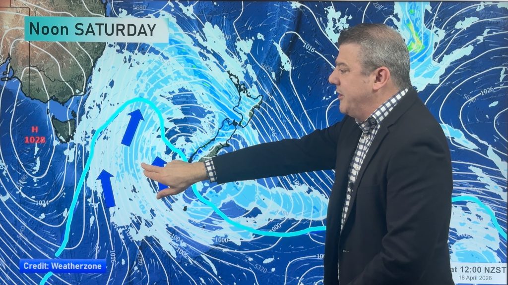
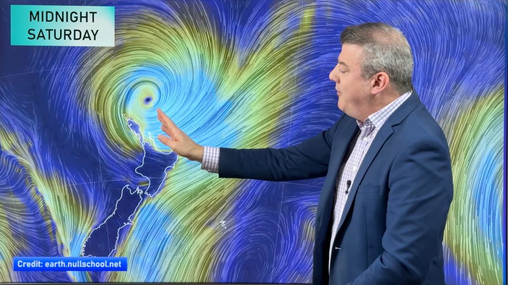
A low in the Tasman Sea moves closer towards New Zealand on Saturday and draws a northeasterly airflow over the North Island and a southerly airflow over the South Island. Expect plenty of unsettled weather with areas of heavy rain likely, especially for parts of the North Island. This low continues to sit west of the North Island on Sunday however the energy associated with the low starts to spread out more over a wider area therefore losing it’s intensity a little.
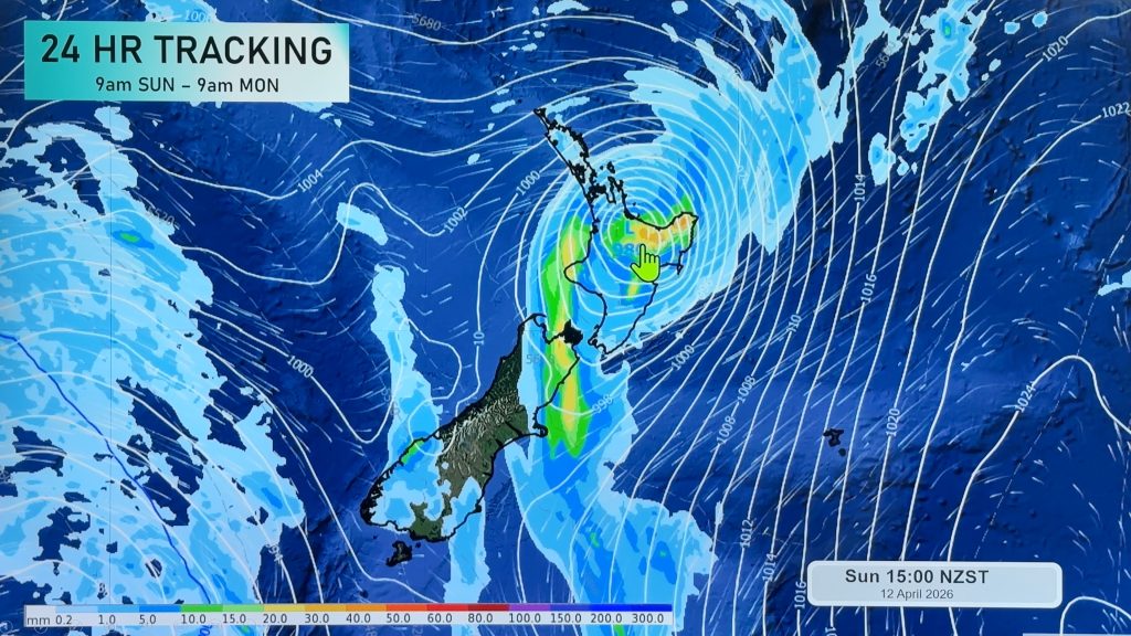
Wet and unsettled for most of New Zealand on Saturday, rain for the South Island while heavy doesn’t look as intense as falls further north for Northland through to Bay Of Plenty as a front moves southwards over the upper North Island during the day. Rain about the Bay Of Plenty may become fairly torrential in the evening / overnight for a time. Watch for a chance of thunderstorms in the east also between Coromandel and eastern Northland.
Rain or showers for many regions on Sunday, there may still be the odd heavy fall for parts of Bay Of Plenty and along the east coast (Gisborne to Wairarapa). Just a small pocket of sunshine for normally the wettest part of New Zealand, Fiordland.

By Weather Analyst Aaron Wilkinson – WeatherWatch.co.nz
Comments
Before you add a new comment, take note this story was published on 27 Apr 2018.


Add new comment