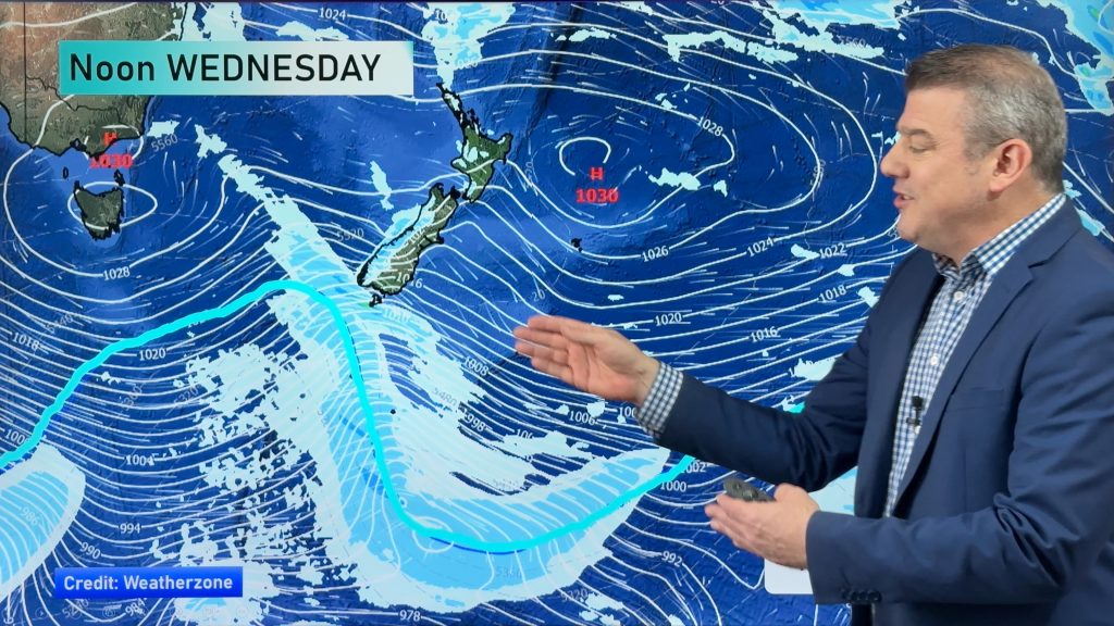
InfoGraphic: The Big Picture for Monday / Tuesday
22/09/2019 7:00pm

> From the WeatherWatch archives
A northwesterly airflow lies over both the North and South Islands today, a cold front pushes onto the lower South Island this morning then gradually moves northwards to reach central New Zealand overnight. A disturbance forms on this front out in the Tasman Sea which moves over the North Island on Tuesday, southwesterlies further south.
Mostly cloudy for the western North Island today, the odd light shower possible also especially from evening. Rain moves into Taranaki and Kapiti overnight. Mainly sunny and warm along the east coast. Heavy rain pushes northwards along the West Coast of the South Island, dry with high cloud out east. Morning showers / rain clears Southland and Otago then expect sunny spells.
Unsettled for much of the North Island on Tuesday, expect rain or showers with heavy fall possible. Winds gusty from the northwest then switching to the southwest in the afternoon. Just Hawkes Bay and Gisborne may have a dry morning before deteriorating in the afternoon. Showers for the West Coast and Southland, the odd isolated shower spreads into other eastern South Island areas in the afternoon, especially inland then easing later in the evening.
By Weather Analyst Aaron Wilkinson – WeatherWatch.co.nz
Comments
Before you add a new comment, take note this story was published on 22 Sep 2019.


Add new comment