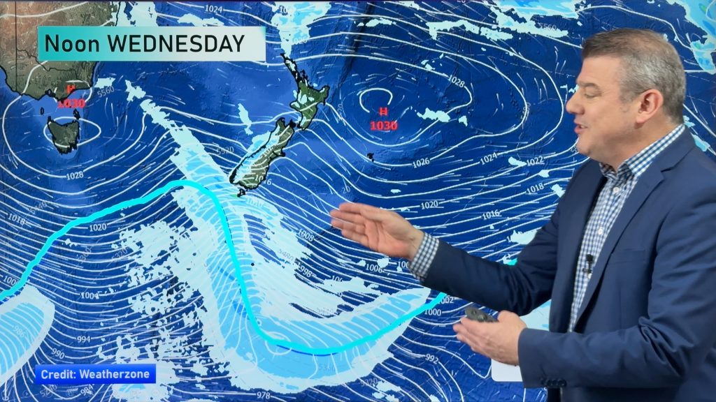
InfoGraphic: The Big Picture for Monday / Tuesday
7/07/2019 7:00pm

> From the WeatherWatch archives
A southwesterly airflow lies over New Zealand today, moving around a high centred to the west of the country in the Tasman Sea. This flow tends more westerly on Tuesday.
Cloudy areas and the odd shower for western parts of the North Island today, drier in the east although a light shower or two may move into Wairarapa this afternoon. A few showers for North Westland, sunnier skies further south. Morning sun for Canterbury and Marlborough then some cloud develops during the morning. Southland and Otago (mainly coastal Otago) sees mostly cloudy skies and the odd shower, light snow flurries to 300m then easing by evening.
Mostly cloudy for western New Zealand on Tuesday, the odd patchy shower about. Rain becomes heavy about Fiordland in the evening. Sunnier skies for eastern regions, Southland sees the odd shower especially nearer the coast.

By Weather Analyst Aaron Wilkinson – WeatherWatch.co.nz
Comments
Before you add a new comment, take note this story was published on 7 Jul 2019.


Add new comment