InfoGraphic: The Big Picture for Monday / Tuesday
22/07/2018 7:00pm

> From the WeatherWatch archives
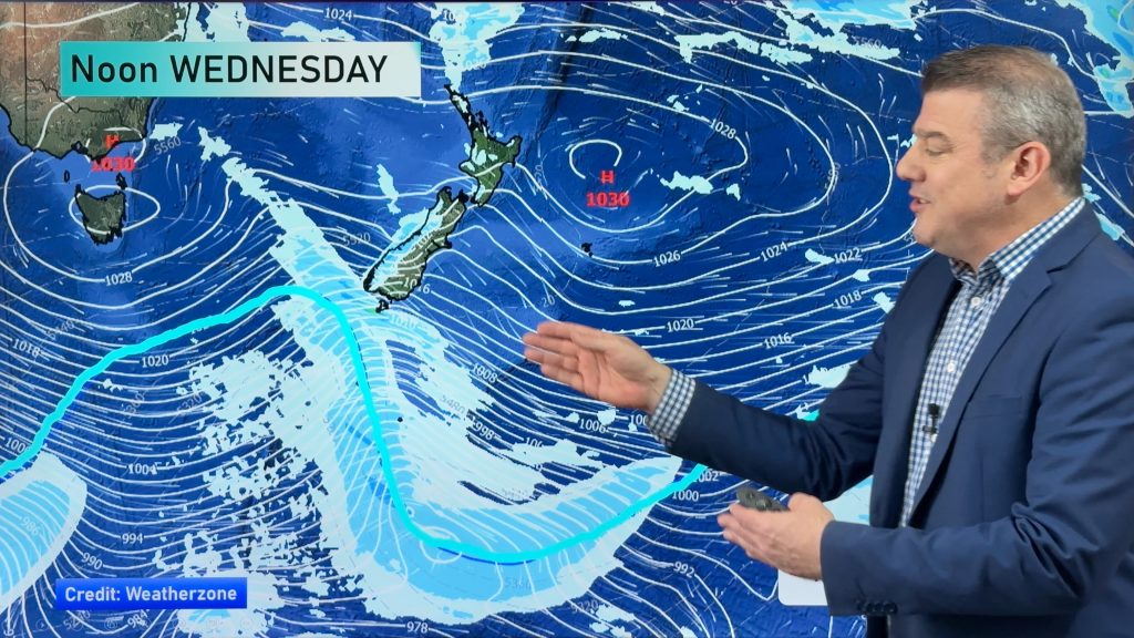
A westerly quarter airflow lies over the North Island today while a low east of the South Island directs a southerly airflow in over the mainland. Southerlies continue over the South Island on Tuesday although they will ease, a slack pressure gradient over the North Island may produce some morning fog.
A few showers at times for the western North Island today, drier and sunnier conditions in the east although showers move into the Wairarapa this afternoon. Areas of rain or showers for much of the South Island with snow flurries in the mountain ranges (mainly east of the divide) down to 500m. Some coastal parts of Canterbury may see long dry spells this afternoon, perhaps even some sun breaking through. South Westland has a sunny day.
A mainly dry morning for much of the North Island on Tuesday, areas of low cloud or fog are possible in the morning then again overnight especially for inland areas. A few showers will sit just offshore about western coastal fringes then during the afternoon the odd isolated shower may make it onto land. Mainly sunny and dry in the east once again. For Nelson and Marlborough expect some rain for much of the day, morning rain or showers about Canterbury mostly clears and becoming fairly dry. Snow in the mountains down to 500m, perhaps 400m for Canterbury in the morning before clearing. The odd shower sticks about coastal Otago for much of the day, sunnier in the west.

By Weather Analyst Aaron Wilkinson – WeatherWatch.co.nz
Comments
Before you add a new comment, take note this story was published on 22 Jul 2018.


Add new comment