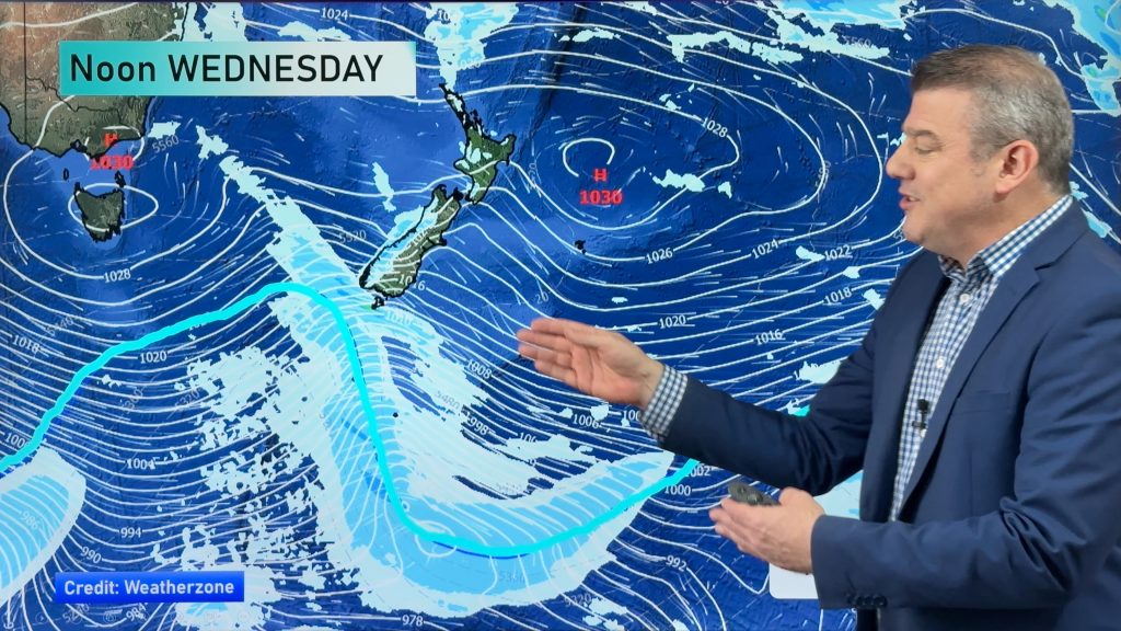
InfoGraphic: The Big Picture for Friday / Saturday
9/05/2019 7:00pm

> From the WeatherWatch archives
A front pushes over the North Island today moving in a west to east fashion, winds from the northwest ahead of the front then changing westerly in behind. Westerlies further south. A northerly airflow gradually increases over the country on Saturday.
Morning rain for the western North Island today then sunny areas increase from afternoon, some morning rain or showers for Hawkes Bay and Gisborne also then becoming mostly sunny after midday. The West Coast of the South Island has the odd shower at times during the day but many long dry periods also, mainly sunny in the east.
Mostly sunny for the upper North Island on Saturday, a chance of some morning low cloud or fog however. Northland could see an isolated shower late afternoon / evening. A few morning showers for the lower western North Island the drying out. Mostly sunny along the east coast with developing high cloud. Cloudy areas along the West Coast of the South Island, chance of a shower mainly afternoon on wards. Sunny areas and thickening high cloud out east.

By Weather Analyst Aaron Wilkinson – WeatherWatch.co.nz
Comments
Before you add a new comment, take note this story was published on 9 May 2019.


Add new comment