InfoGraphic: The Big Picture for Friday / Saturday
20/09/2018 7:00pm

> From the WeatherWatch archives
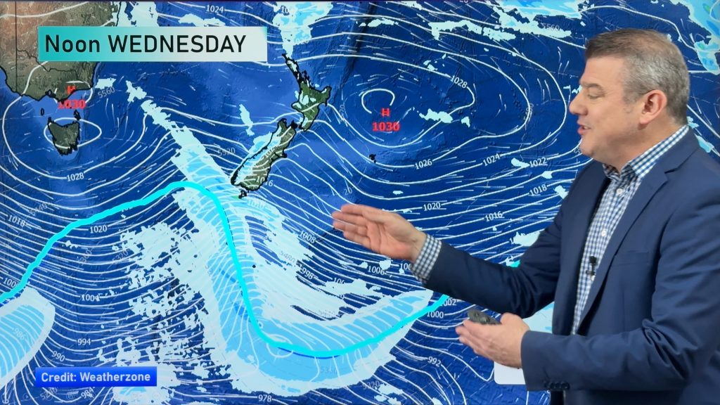
A front pushes northwards over the South Island this morning then the North Island in the afternoon / evening. A ridge brings settled weather to the South Island on Saturday while a southeasterly airflow lies over the North Island.
Dry for most of the North Island today then showers develop late afternoon / evening about some western regions, a shower or two may develop in the east in the evening also (more so about the ranges). Scattered isolated showers develop about the upper South Island in the afternoon, some may be heavy for inland areas then clearing away later in the evening / overnight. Southland and Otago sees any morning showers mostly clearing then afternoon sun breaks through.
A few showers, mainly Auckland northwards on Saturday for the upper North Island. Mainly dry elsewhere with any early morning showers clearing. The east coast sees mostly cloudy skies with the odd shower. Morning cloud in the west Taranaki southwards clears then mostly sunny. Mainly sunny and settled for the South Island on Saturday, some cloud for the far south.

By Weather Analyst Aaron Wilkinson – WeatherWatch.co.nz
Comments
Before you add a new comment, take note this story was published on 20 Sep 2018.


Add new comment